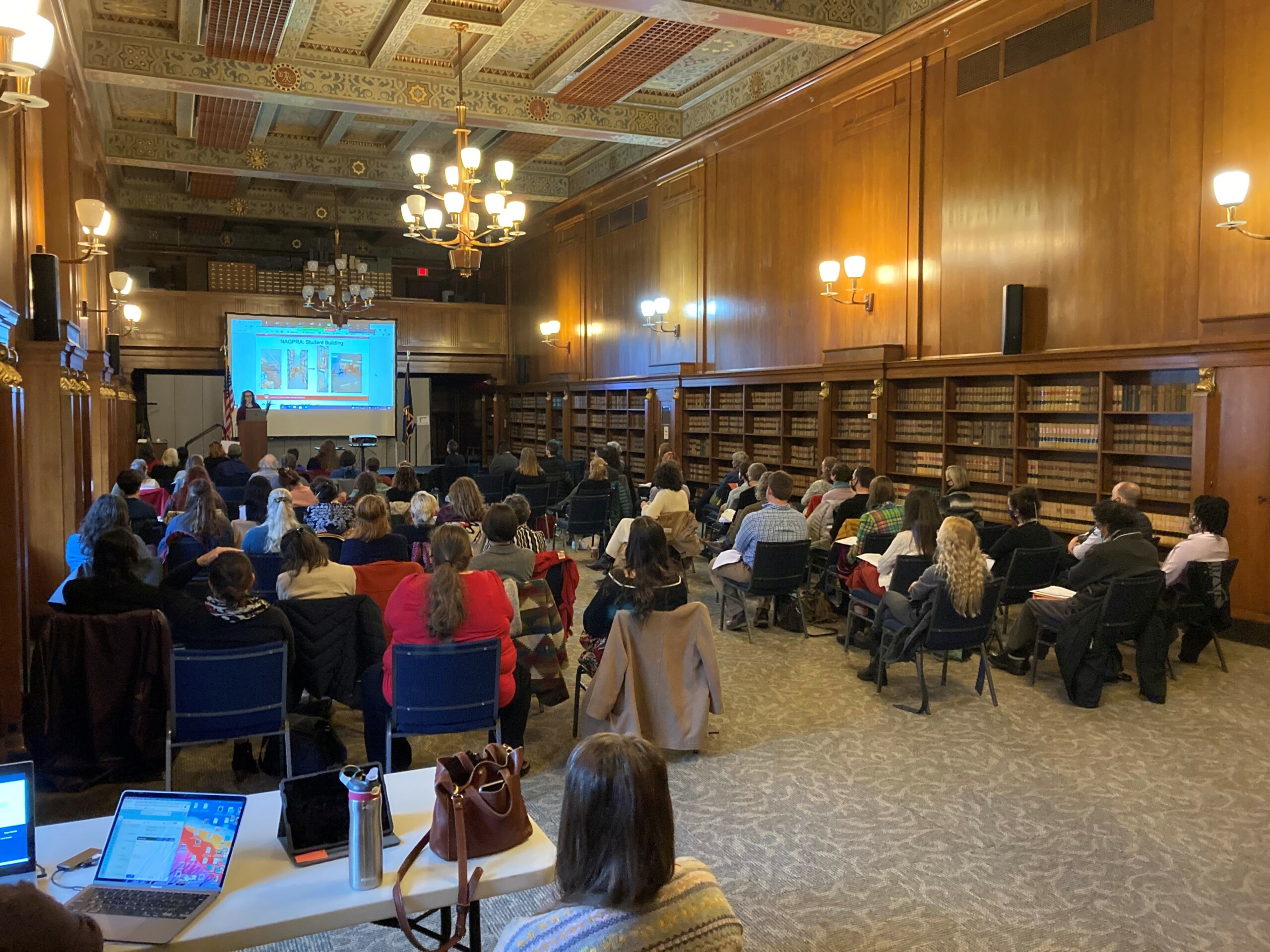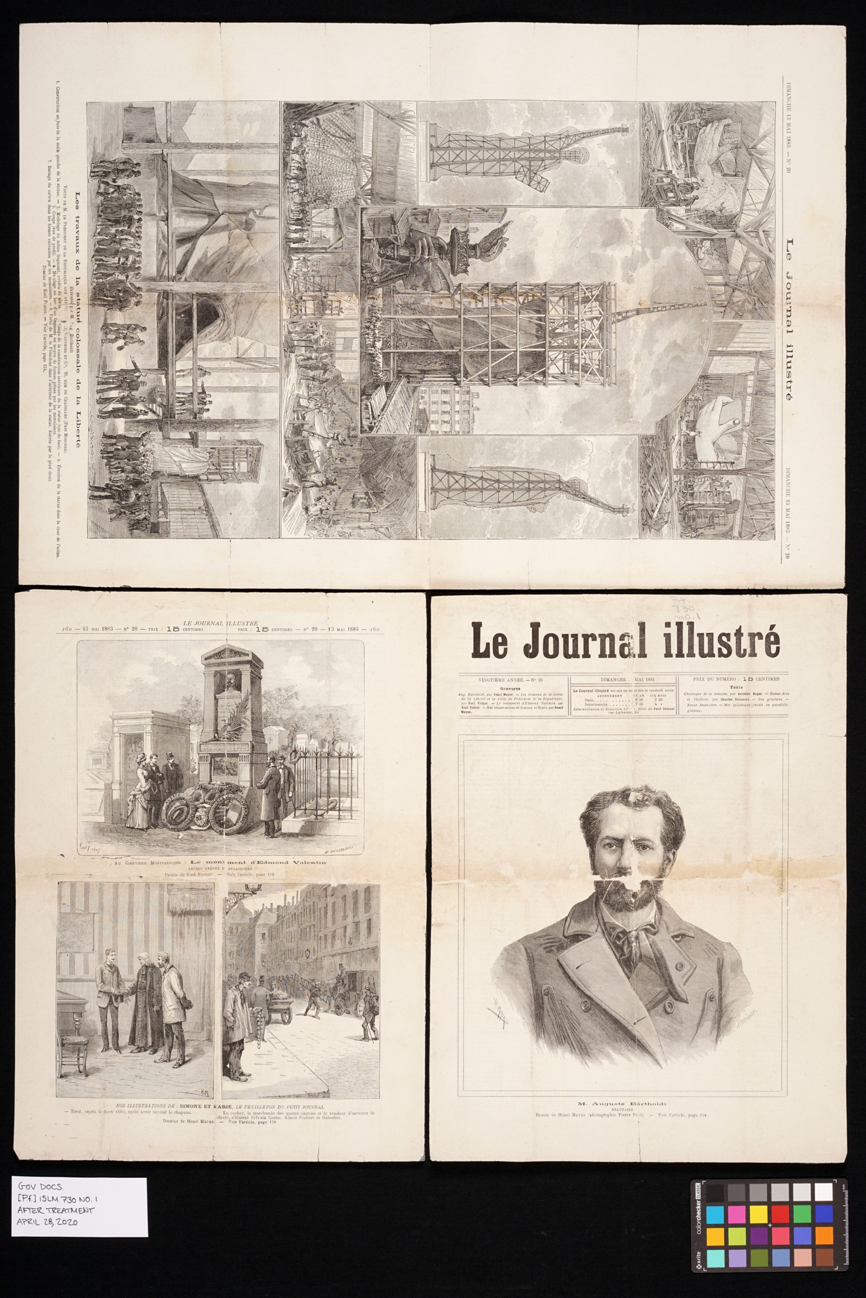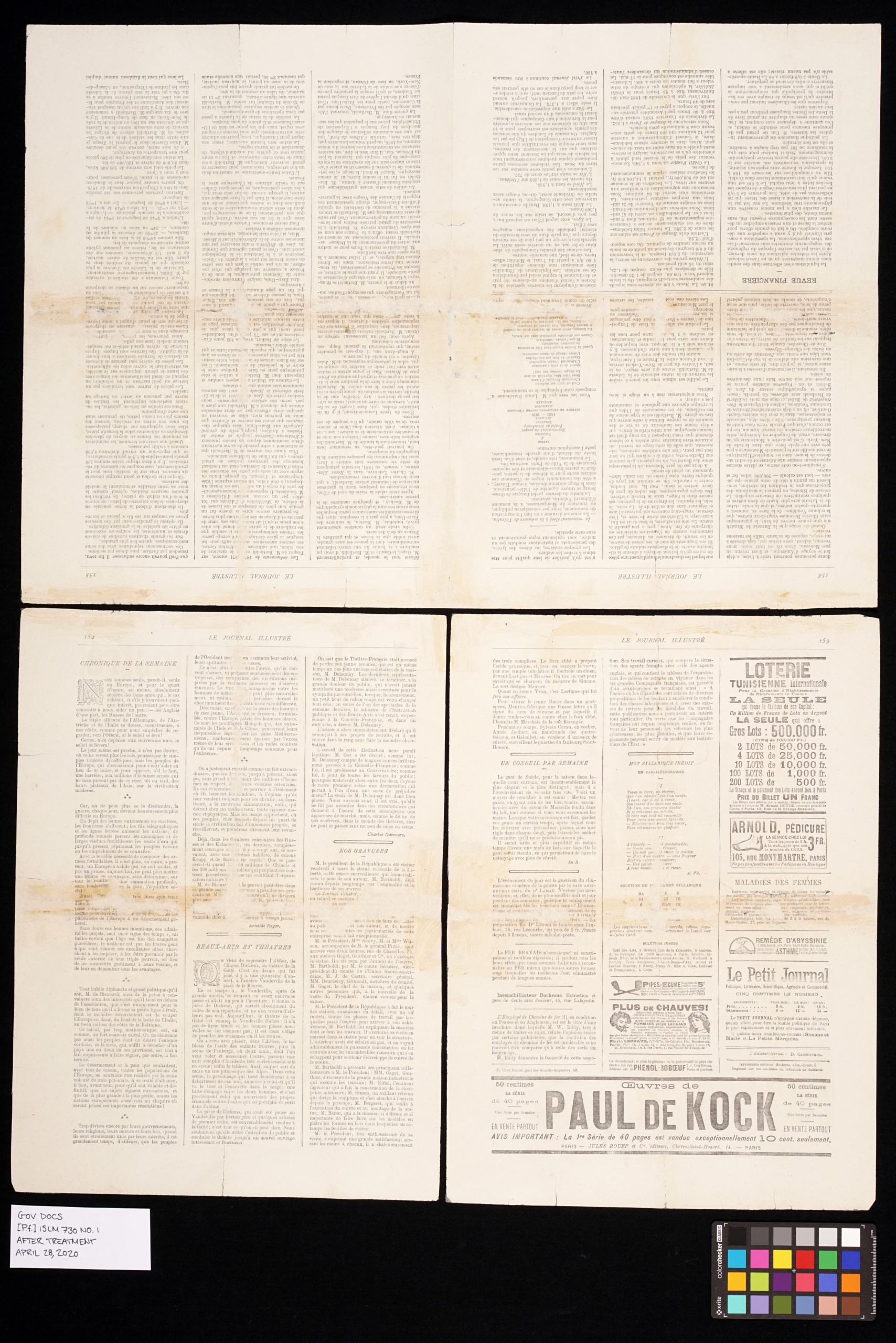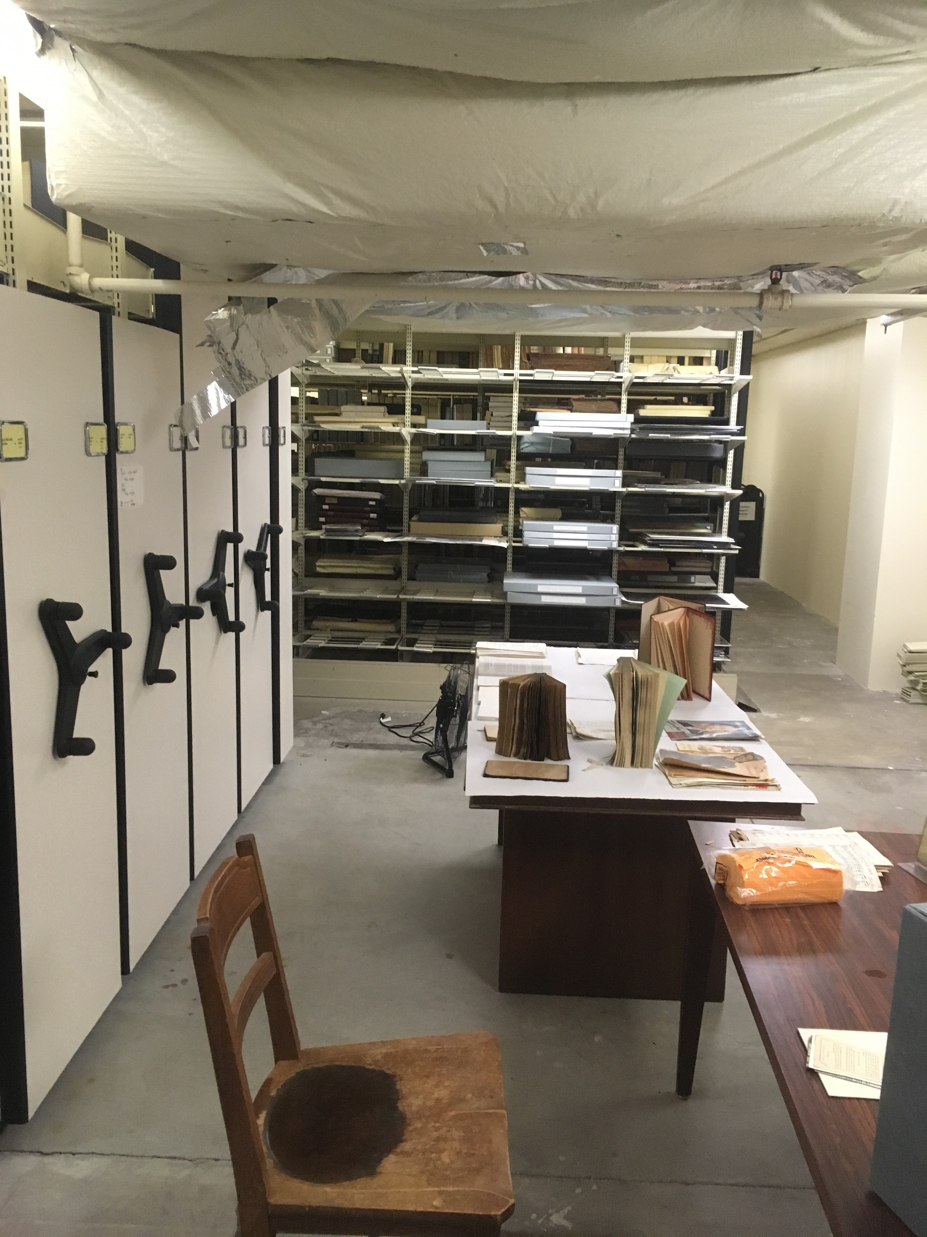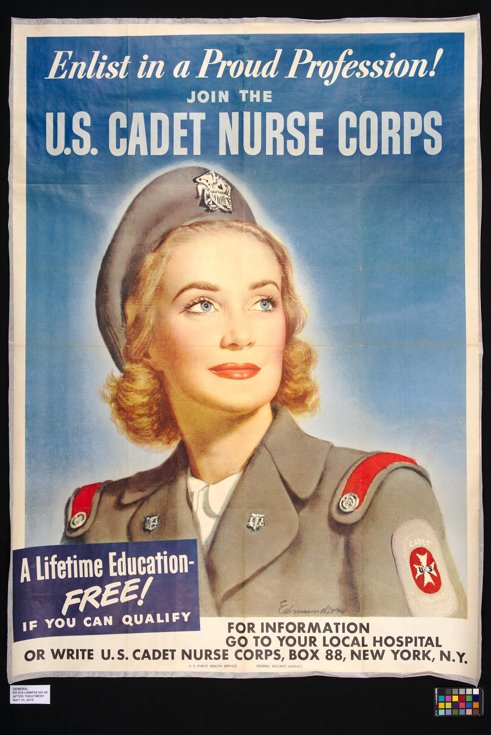
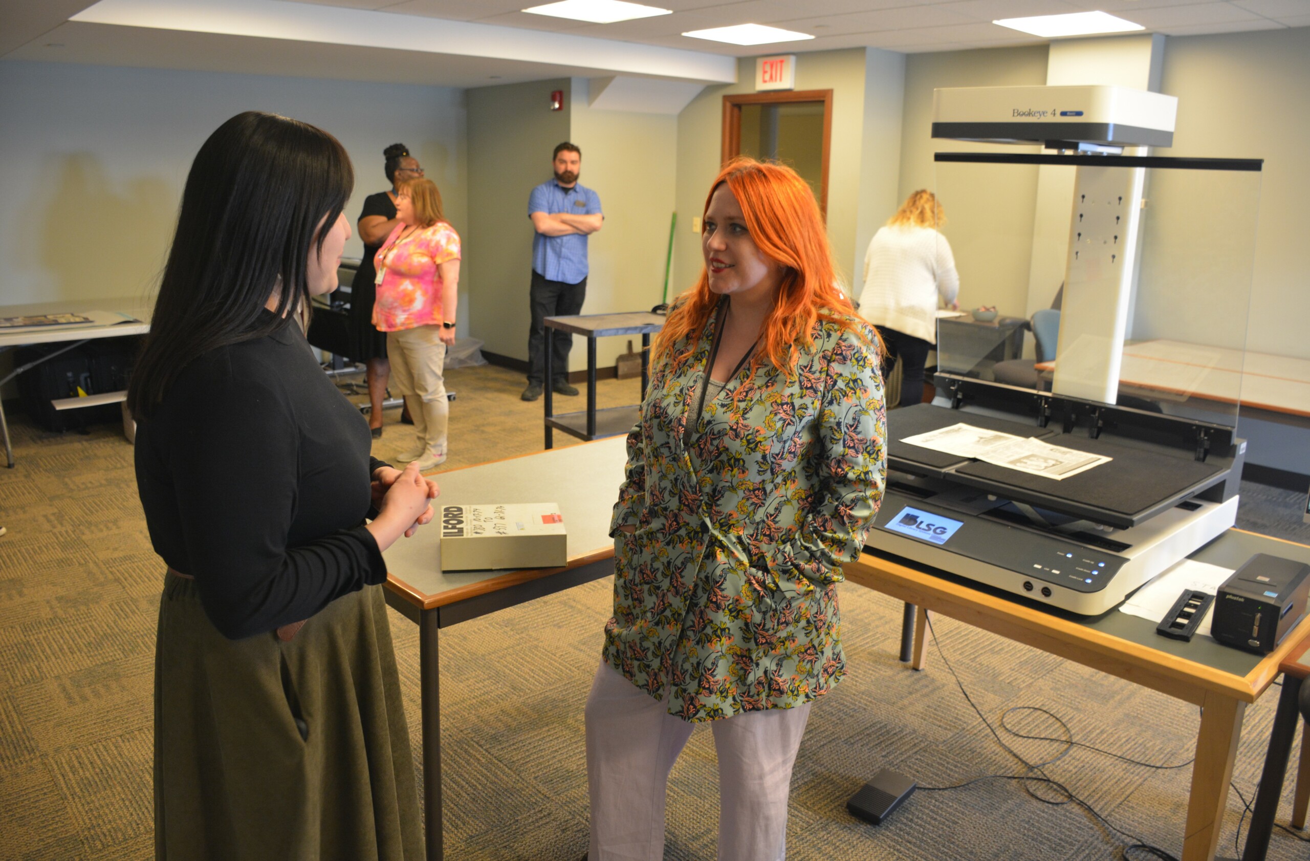
On April 17, 2024, the Indiana State Library held an open house for its staff in our new digitization lab. Many attended and were impressed with the new setup, which brings all of the Indiana State Library’s major internal digitization devices into one roomy, comfortable space.
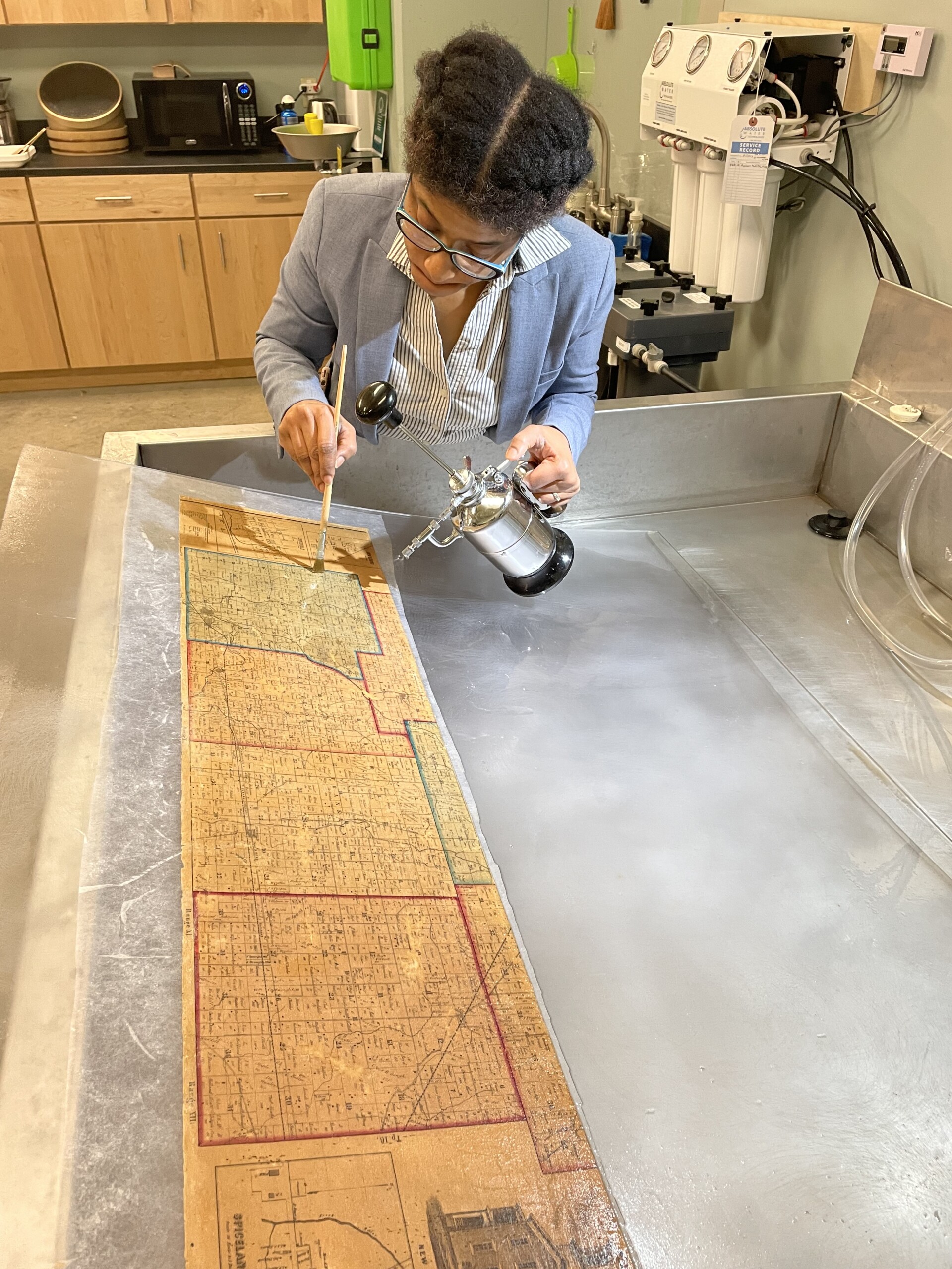
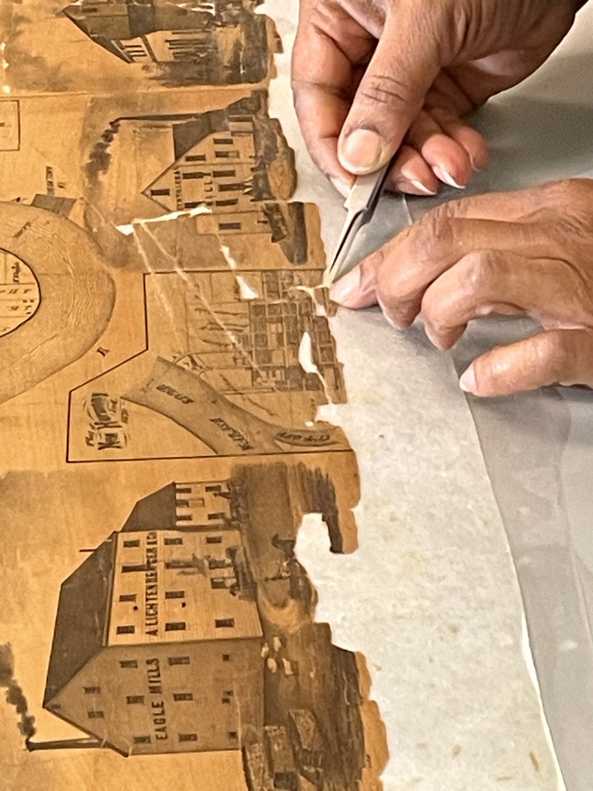
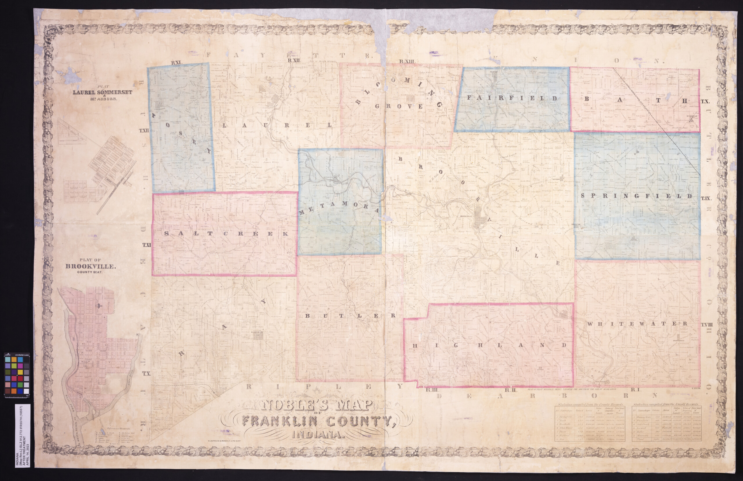
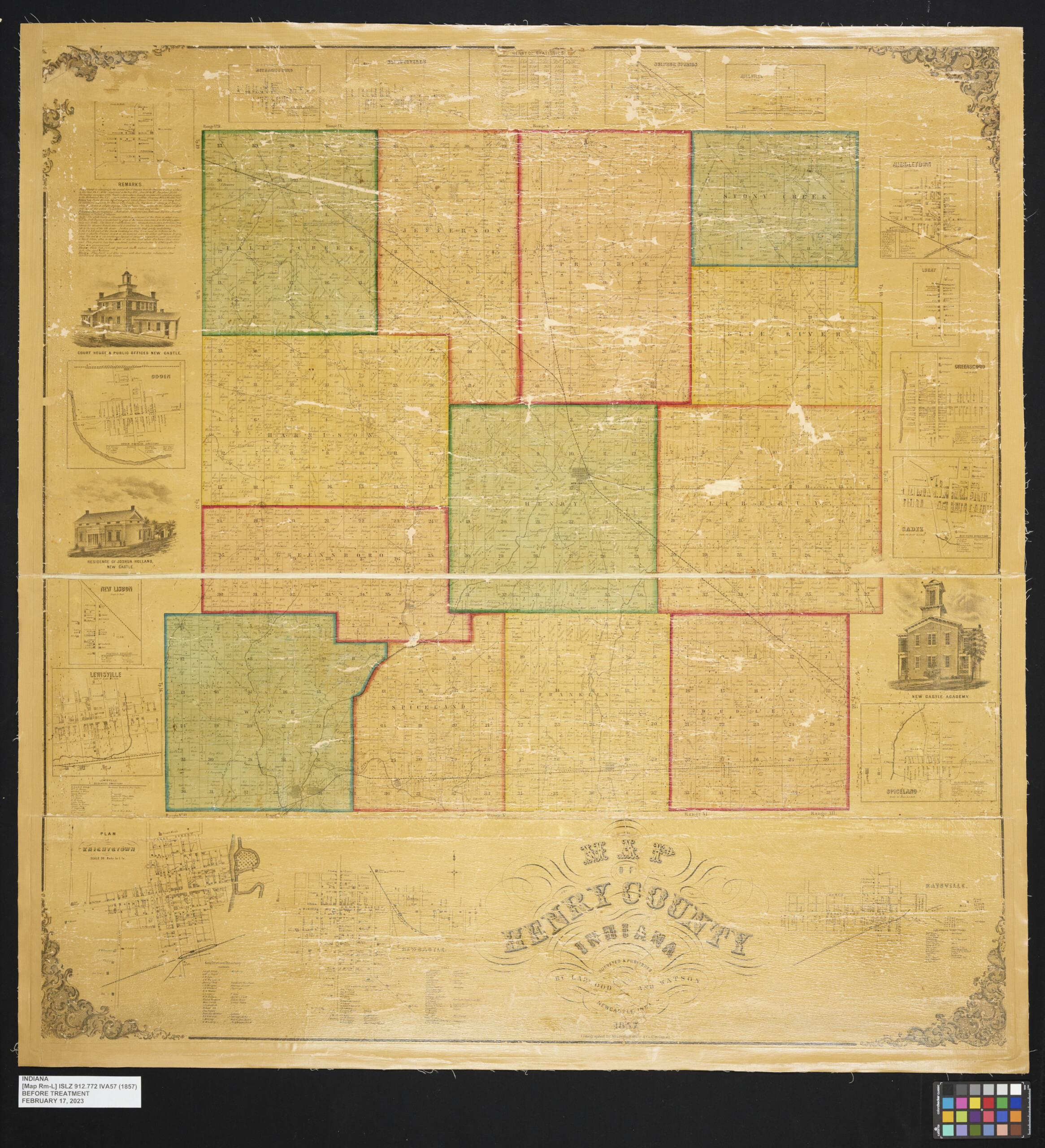
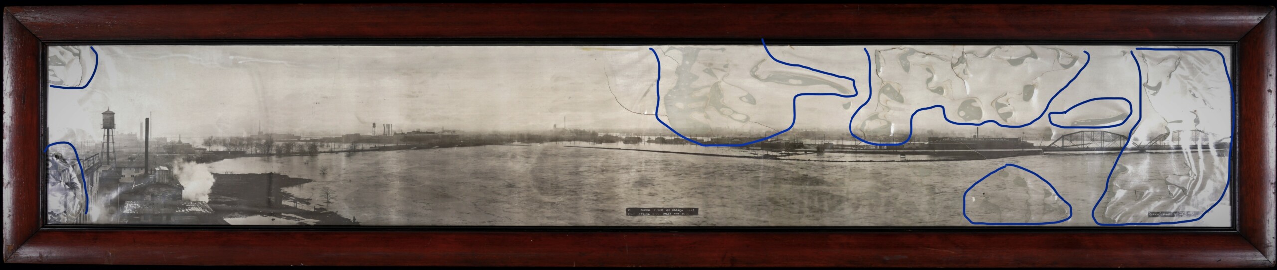
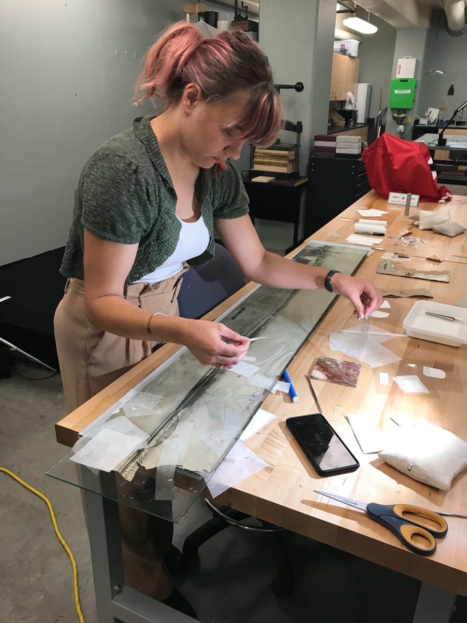
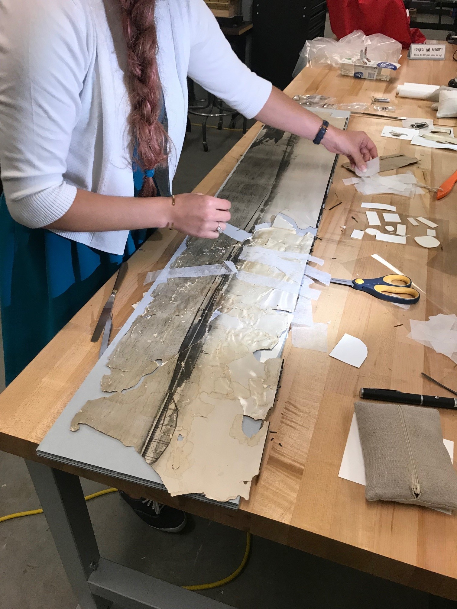
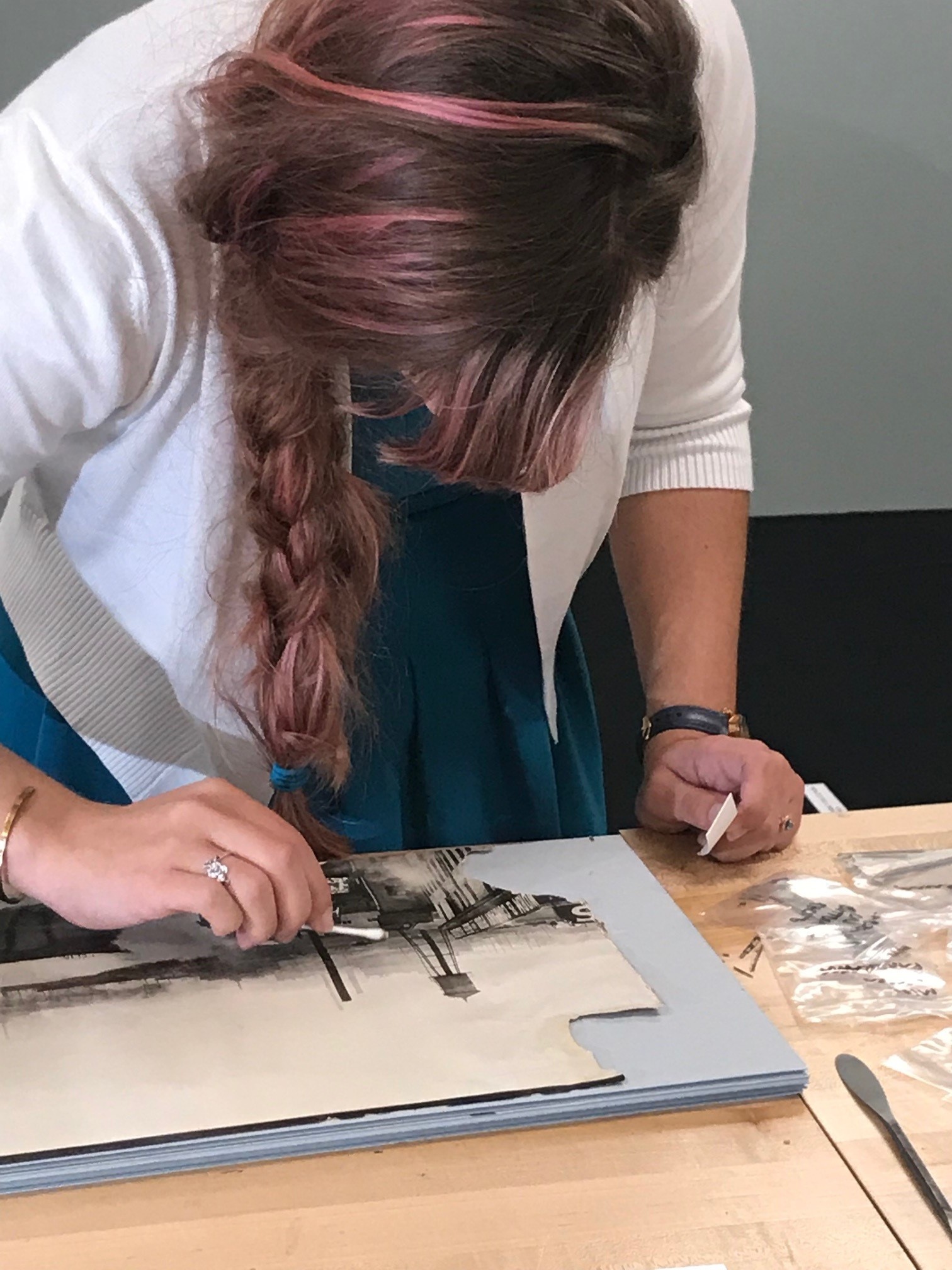
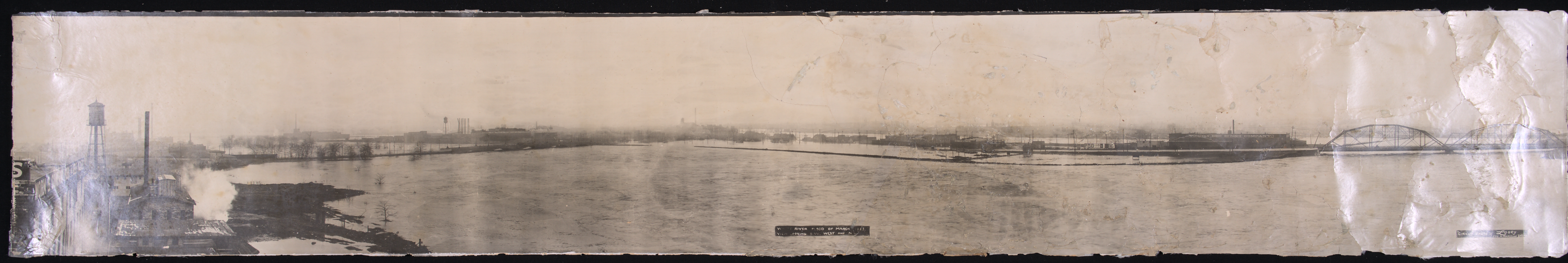
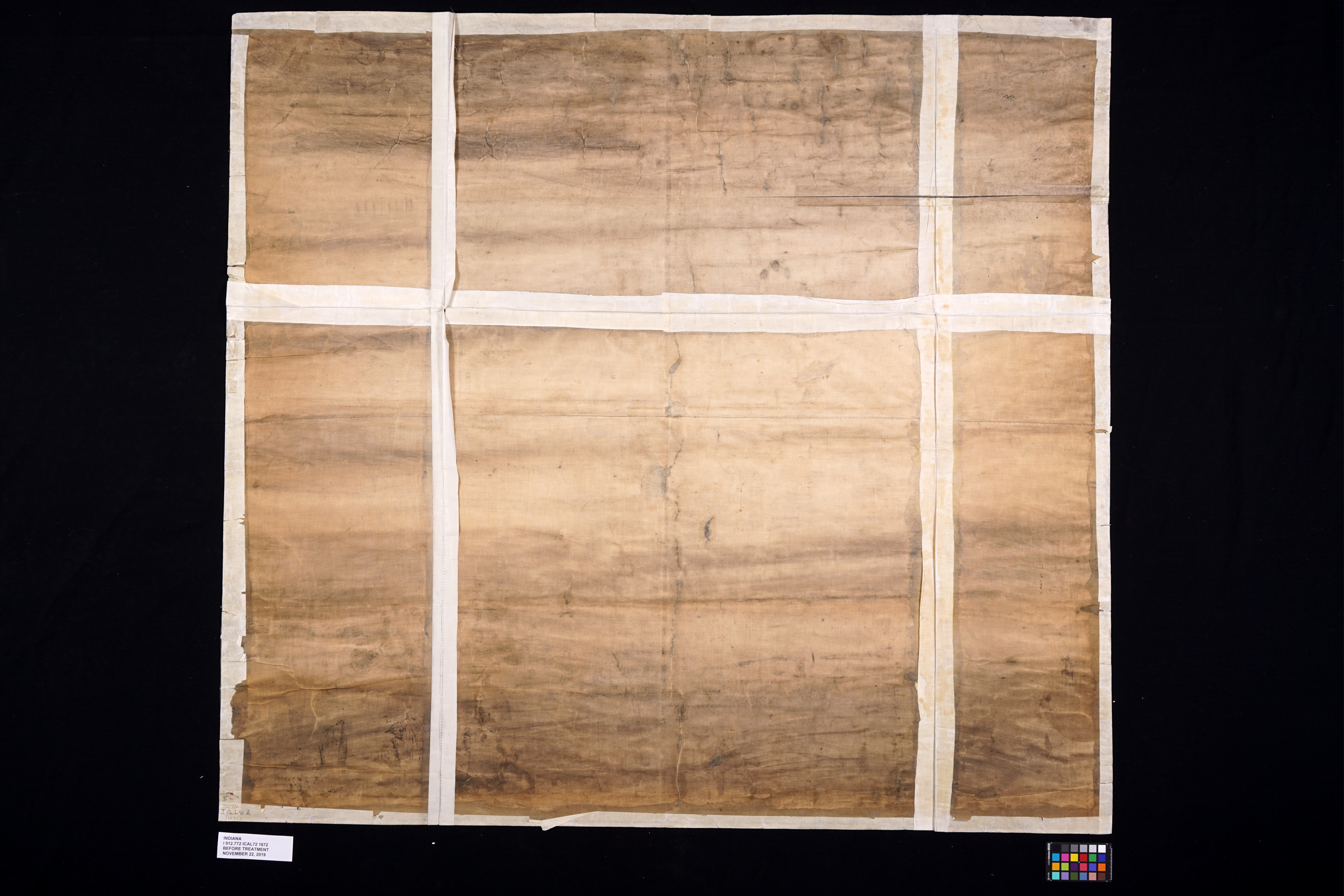
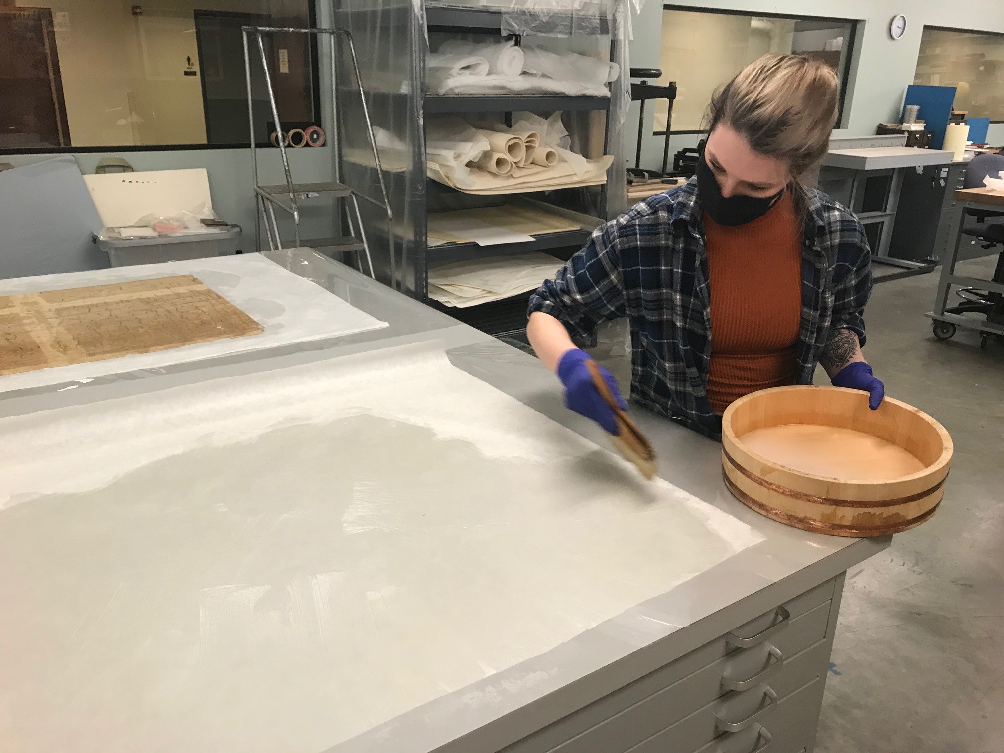
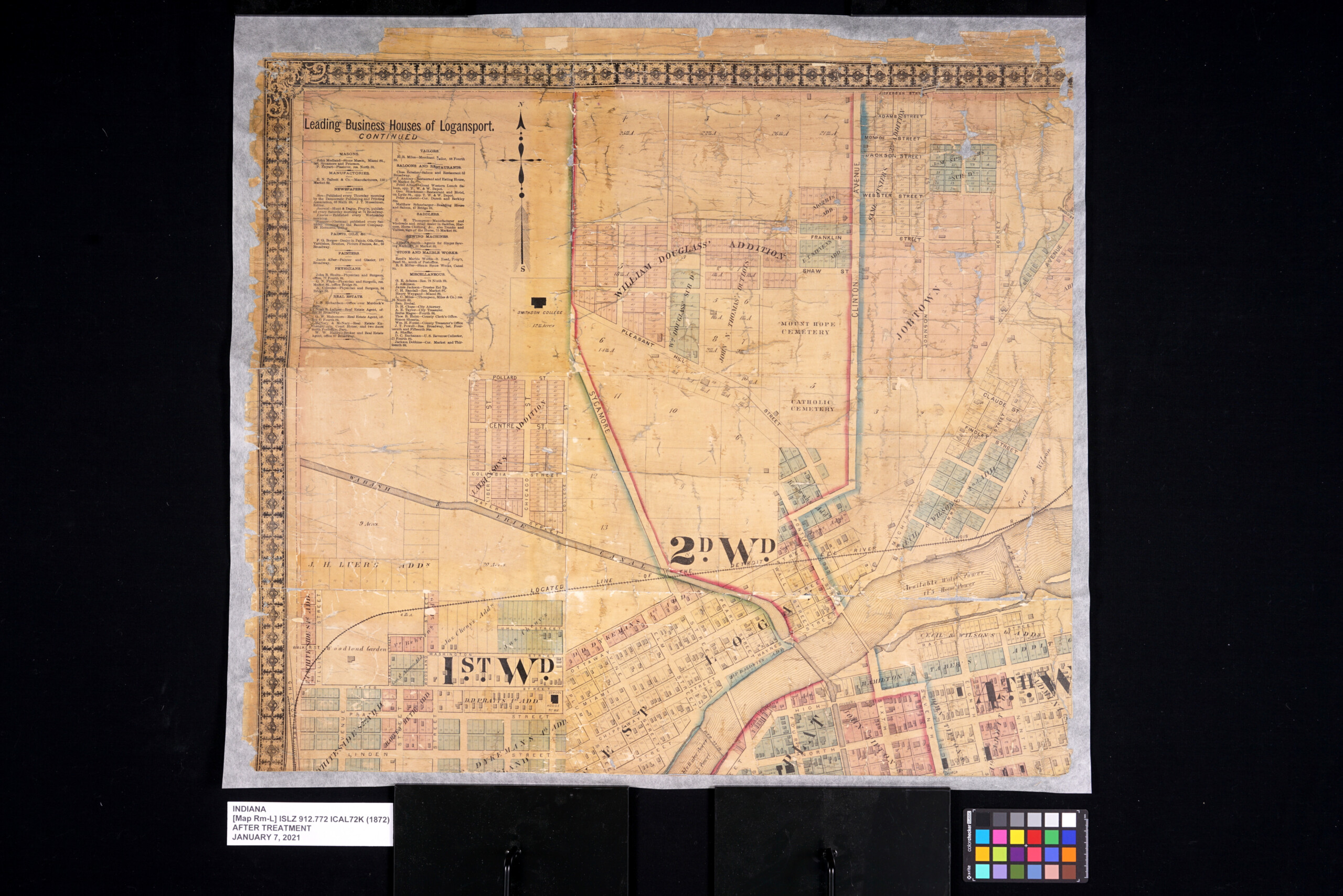
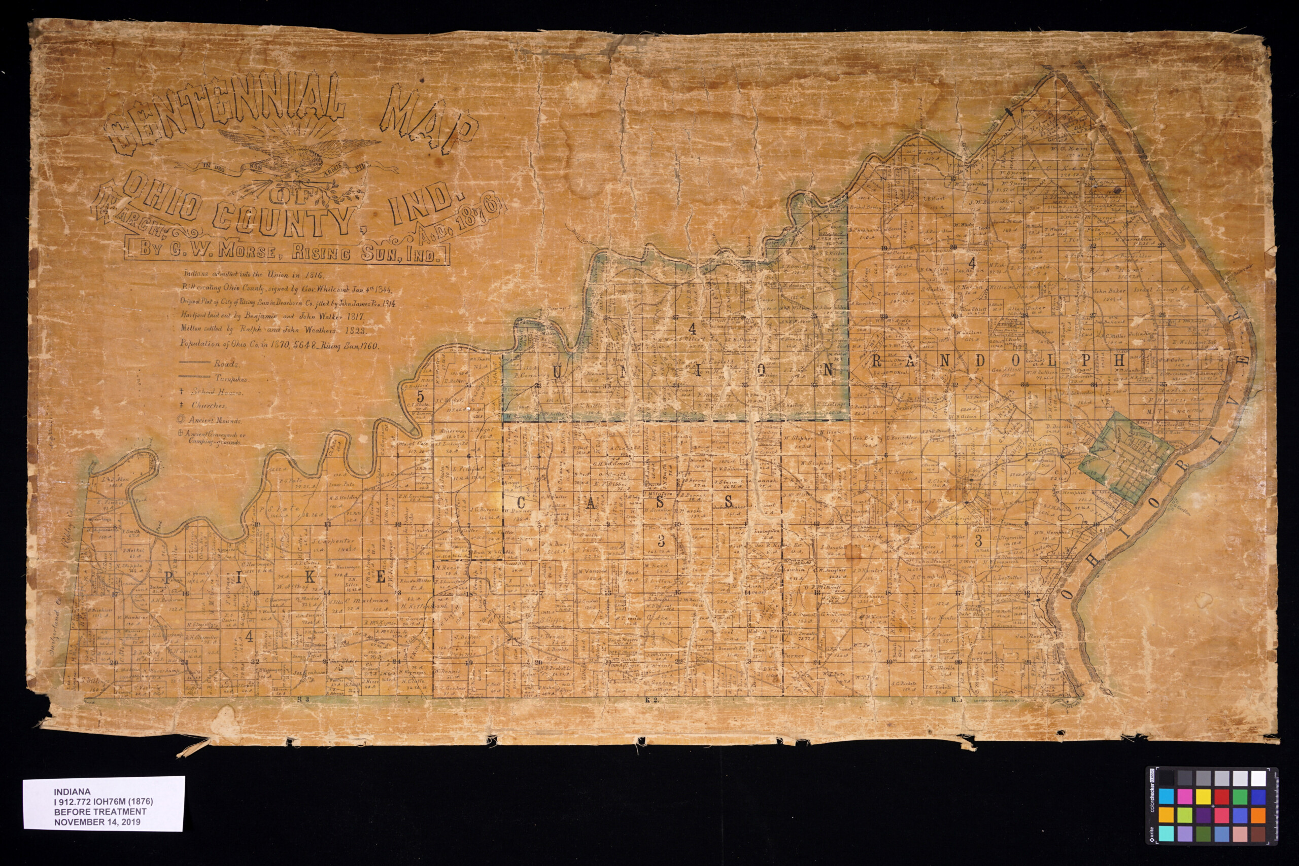
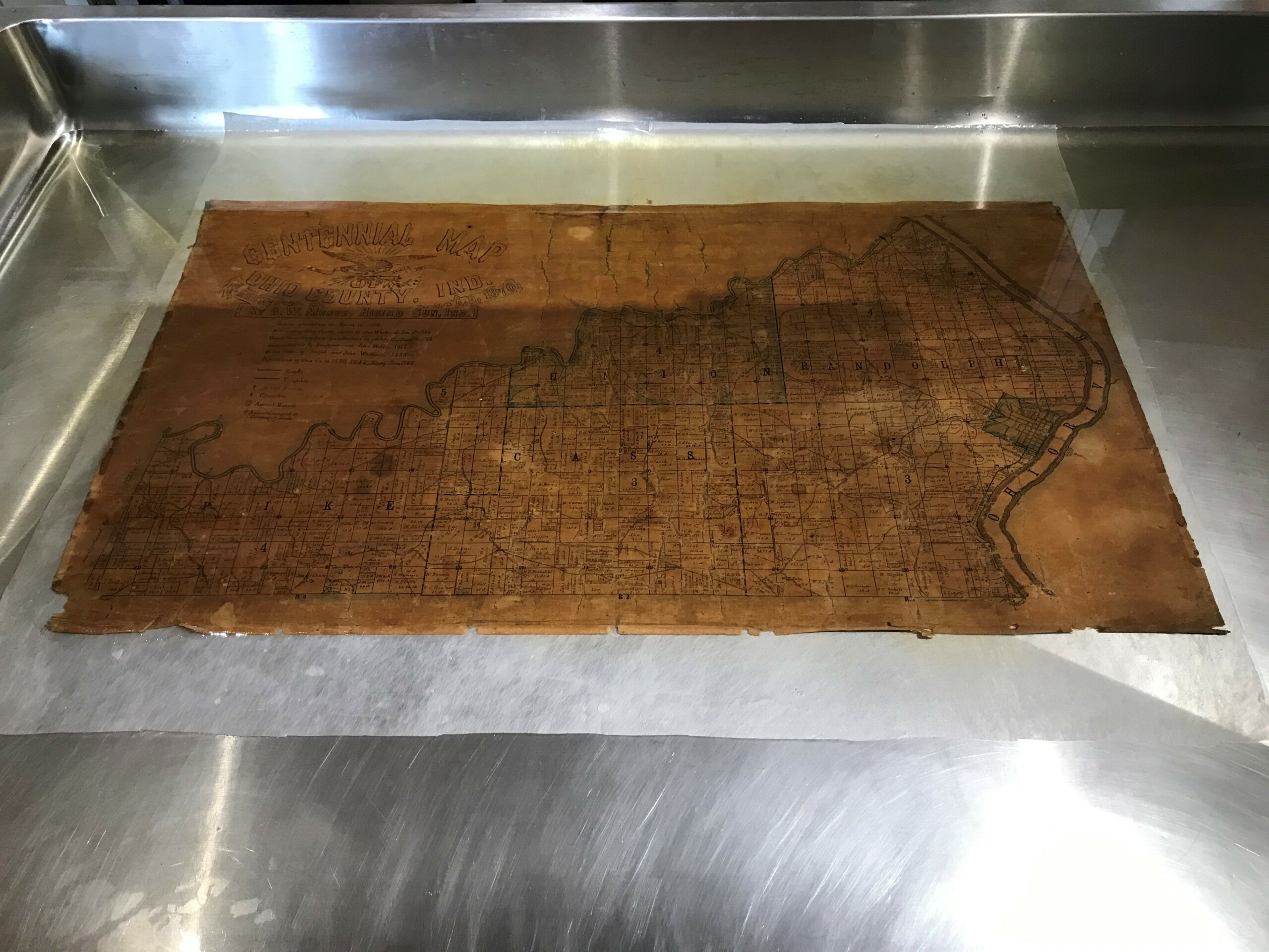
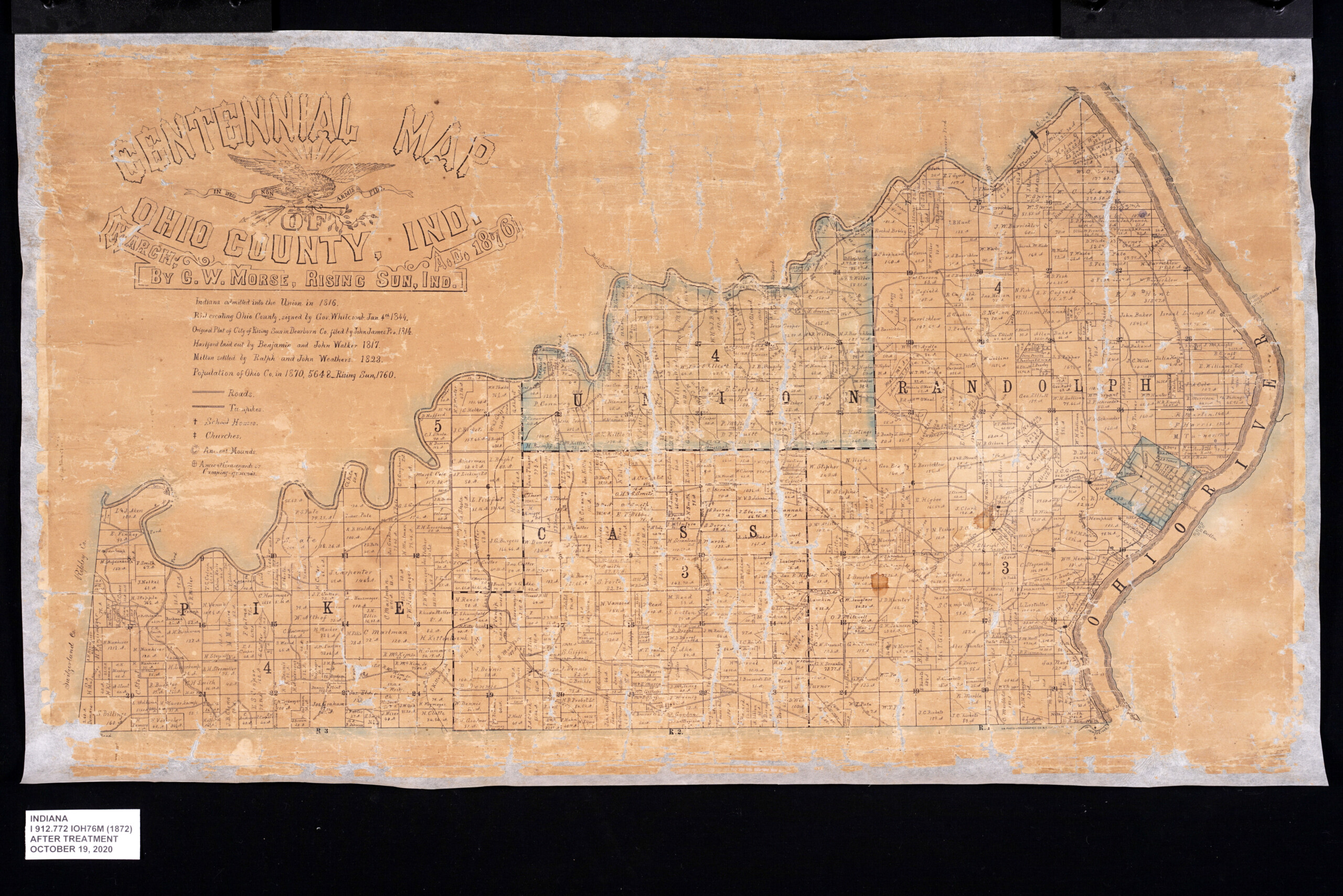
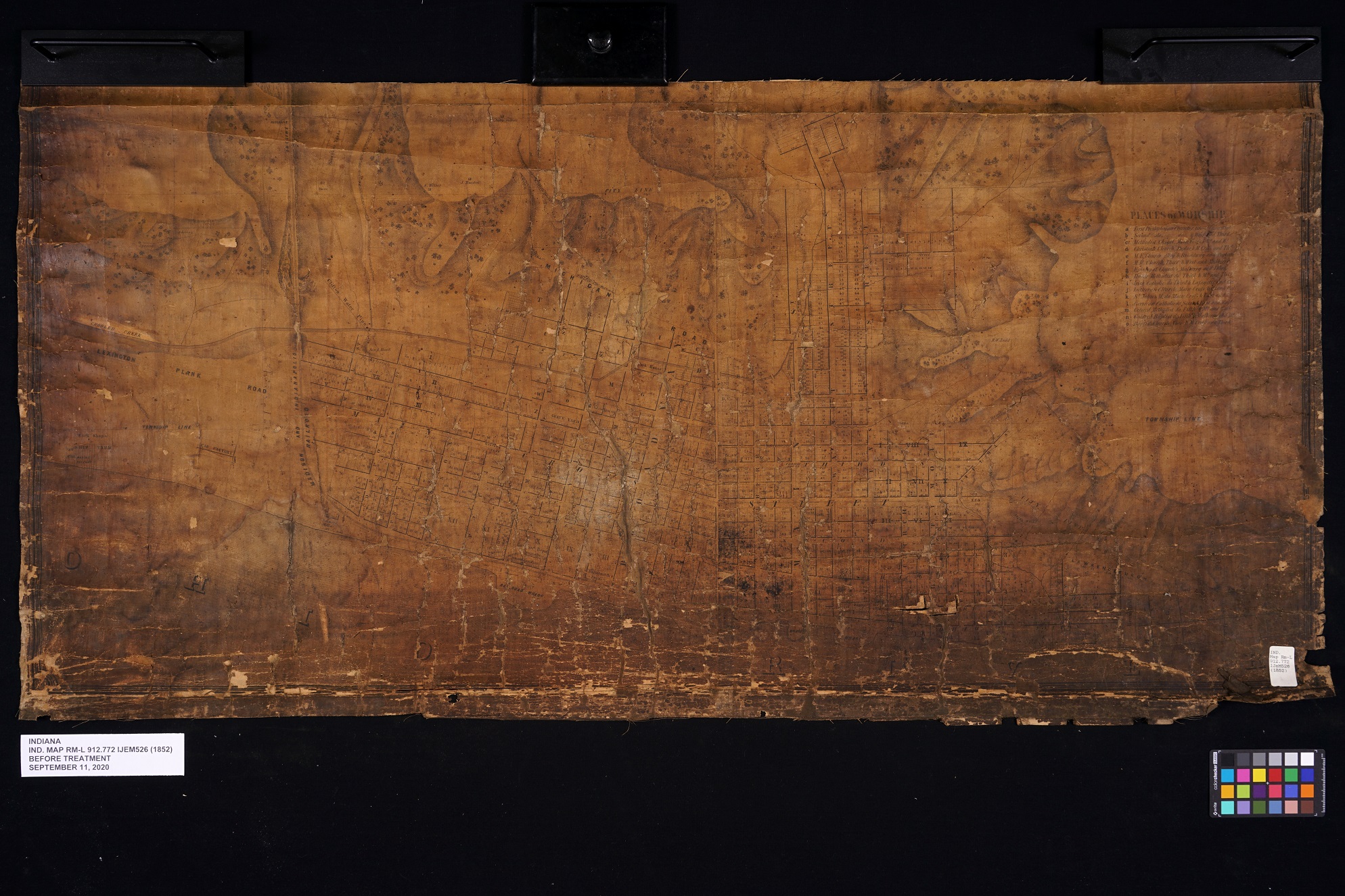
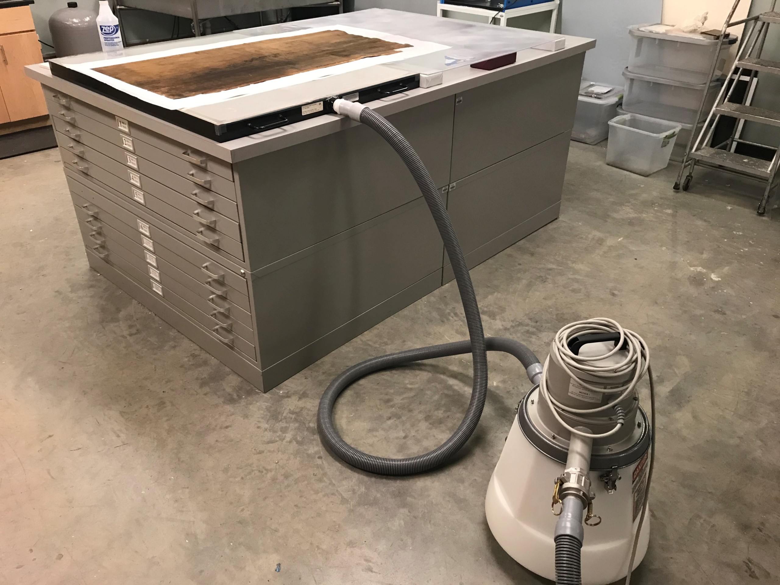
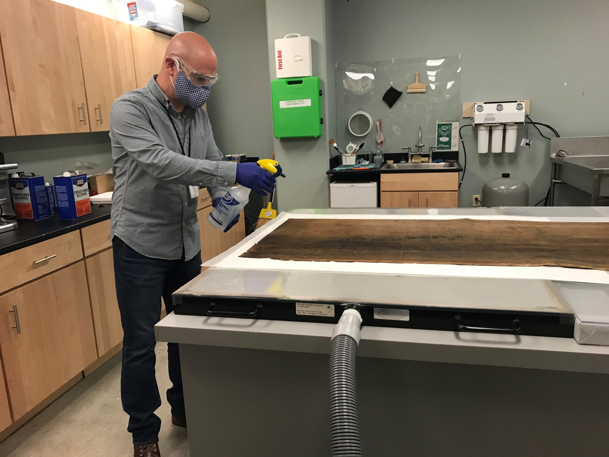
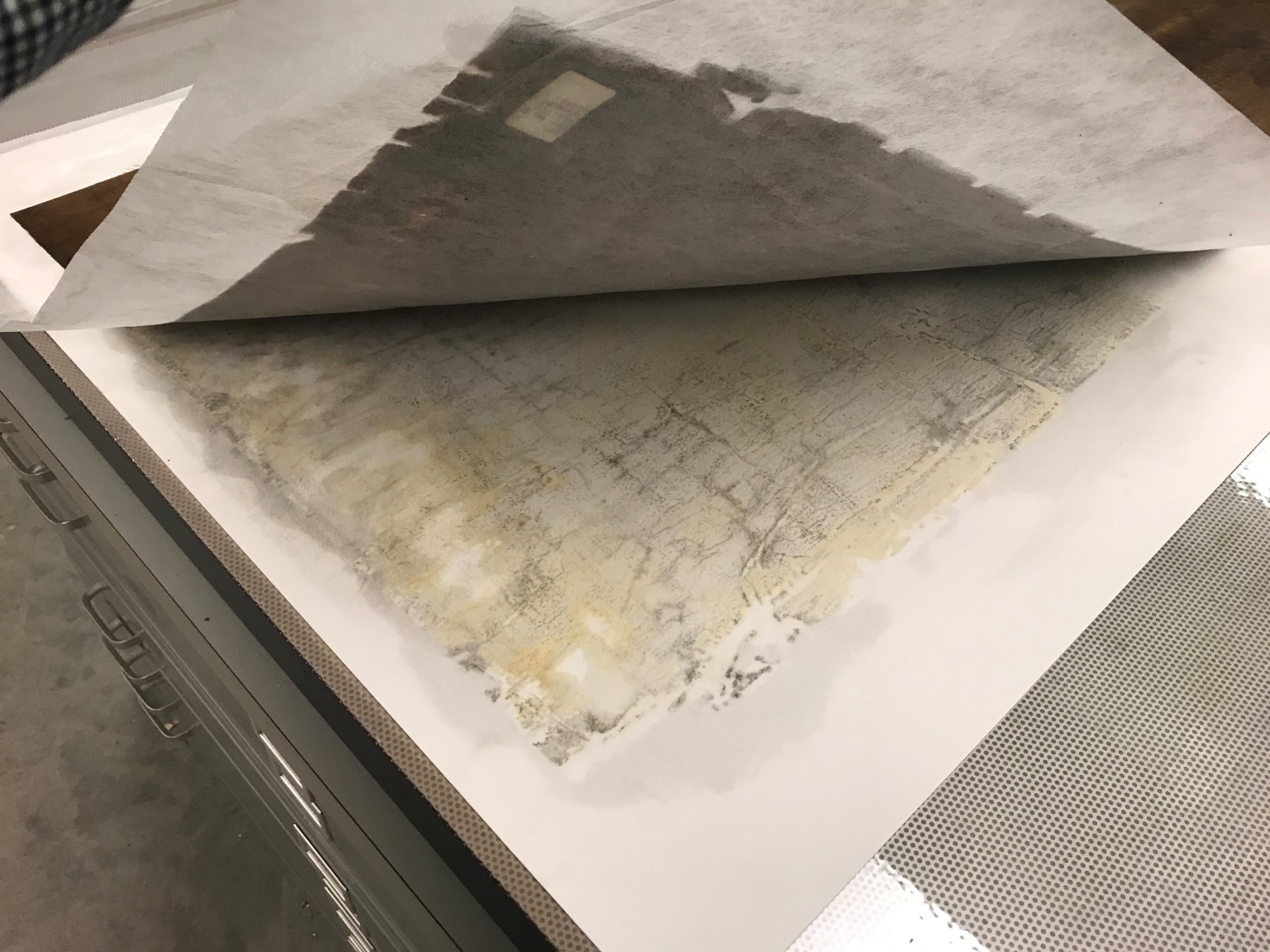
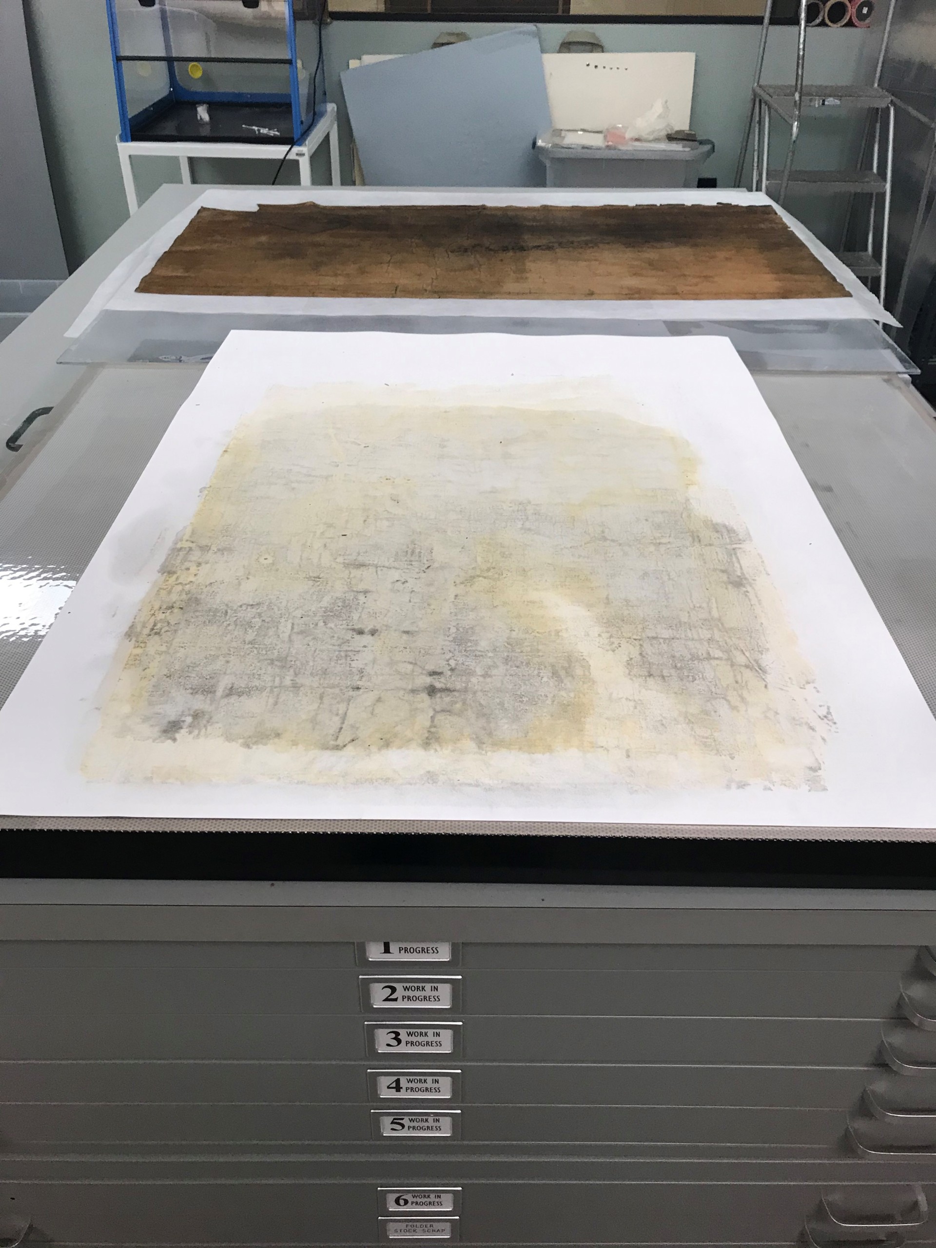
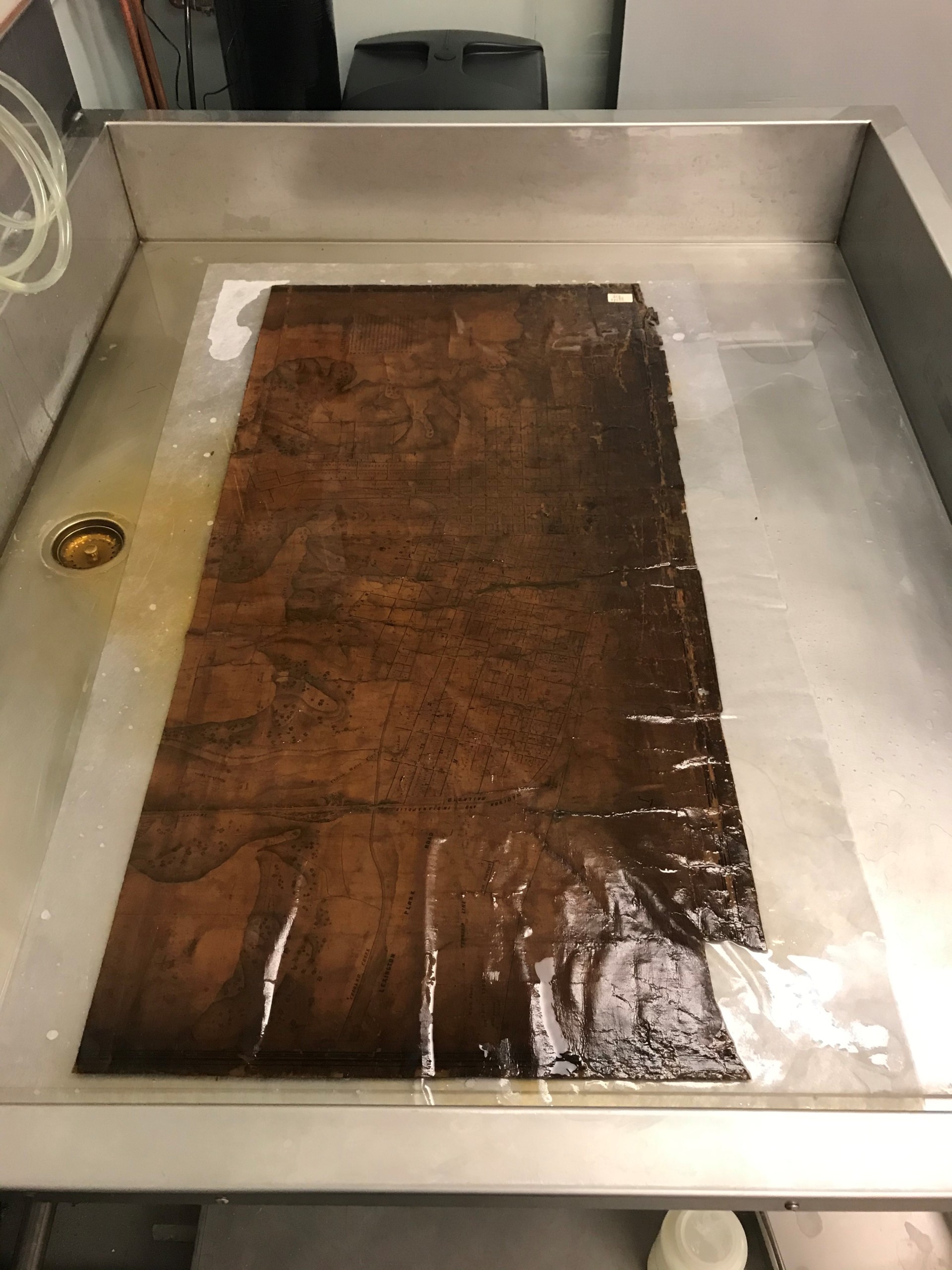
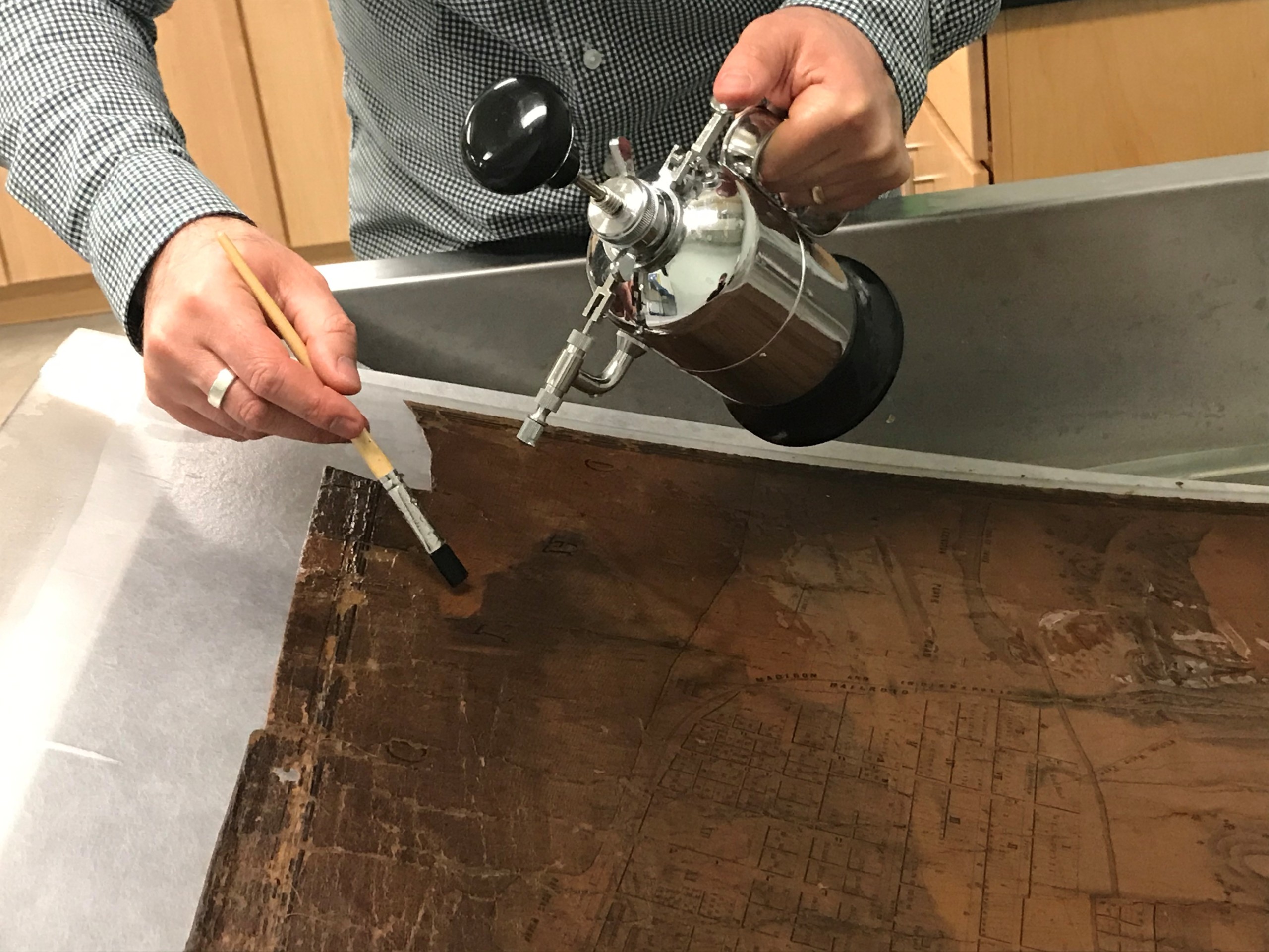
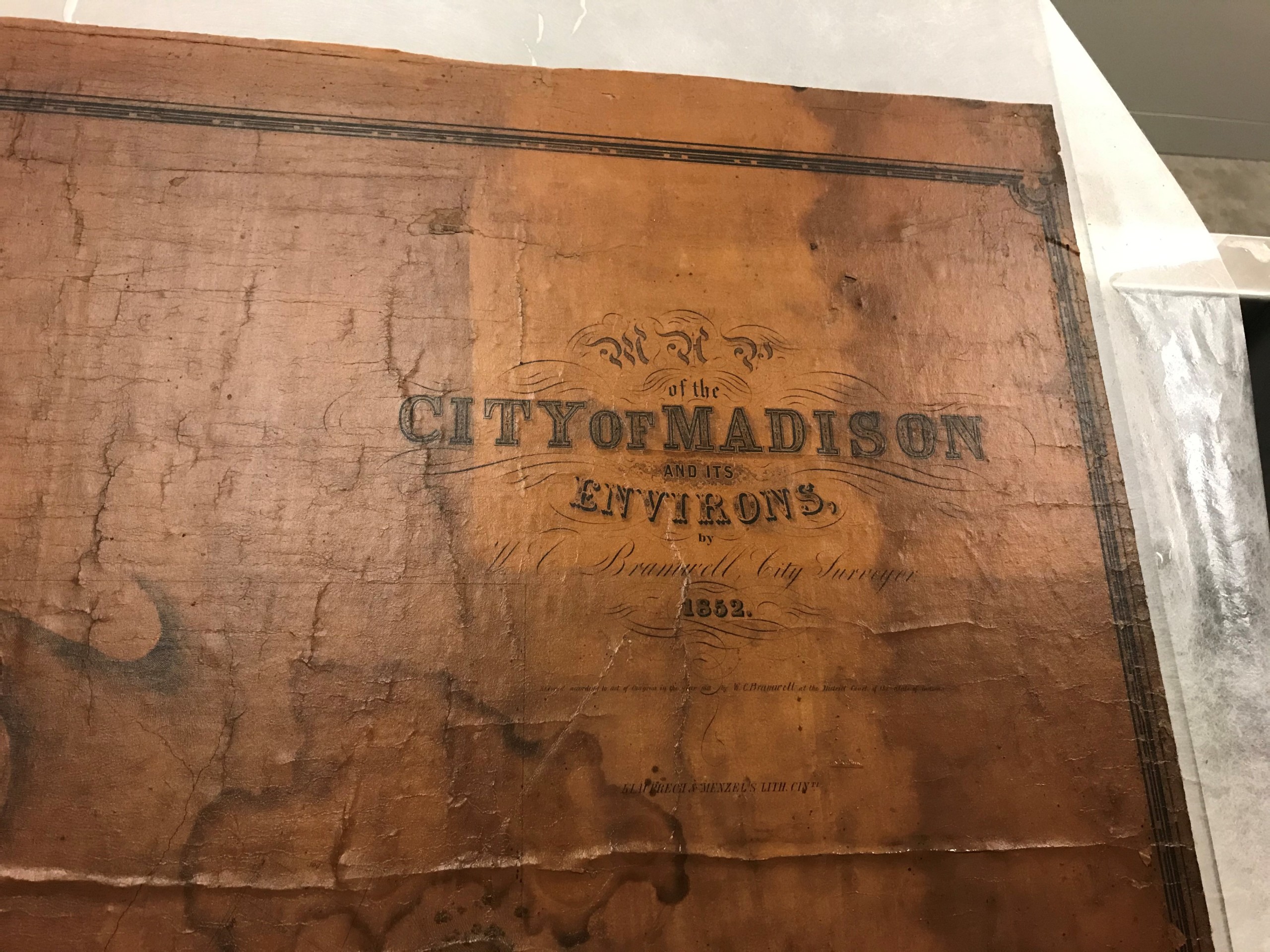
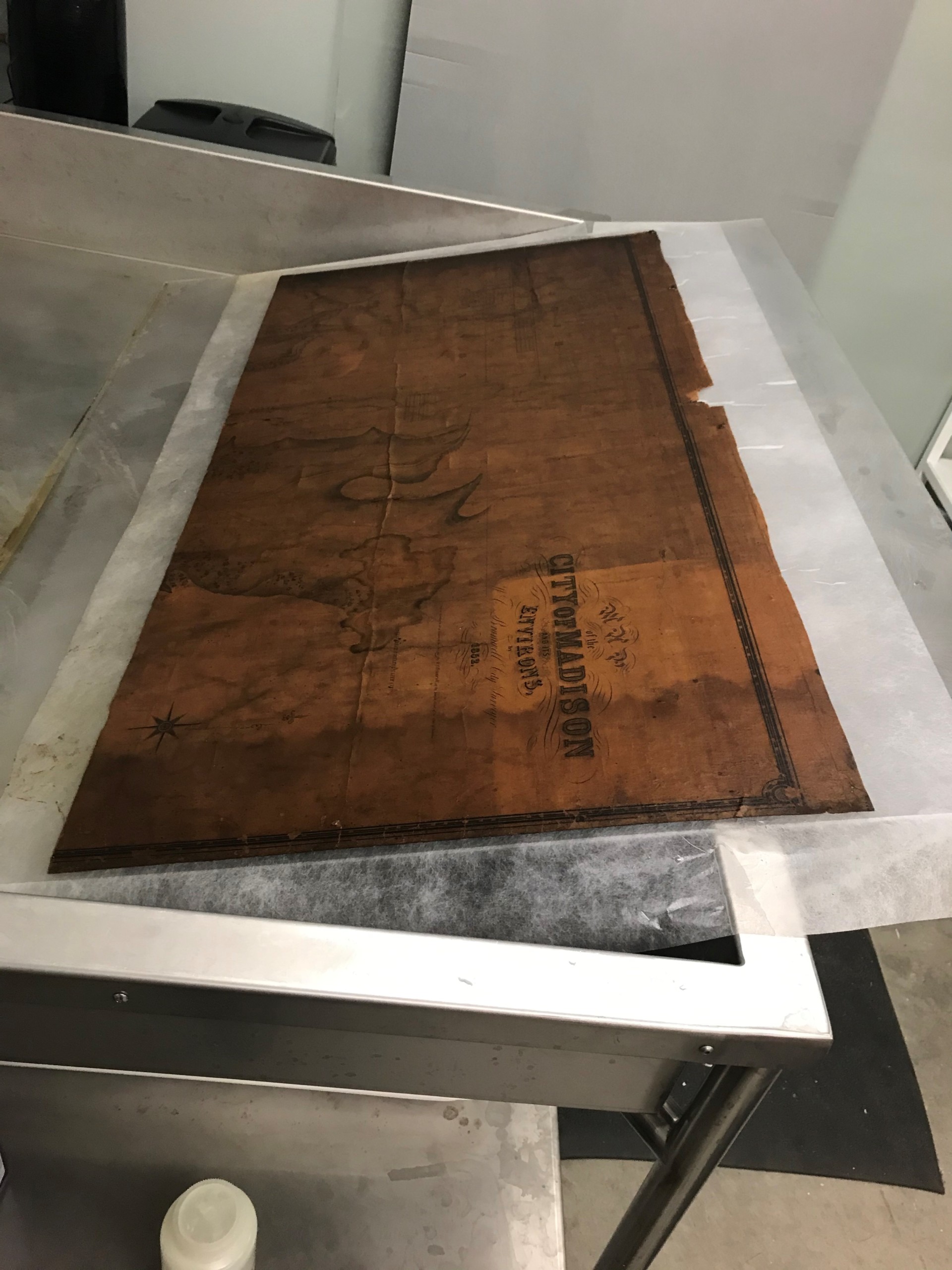
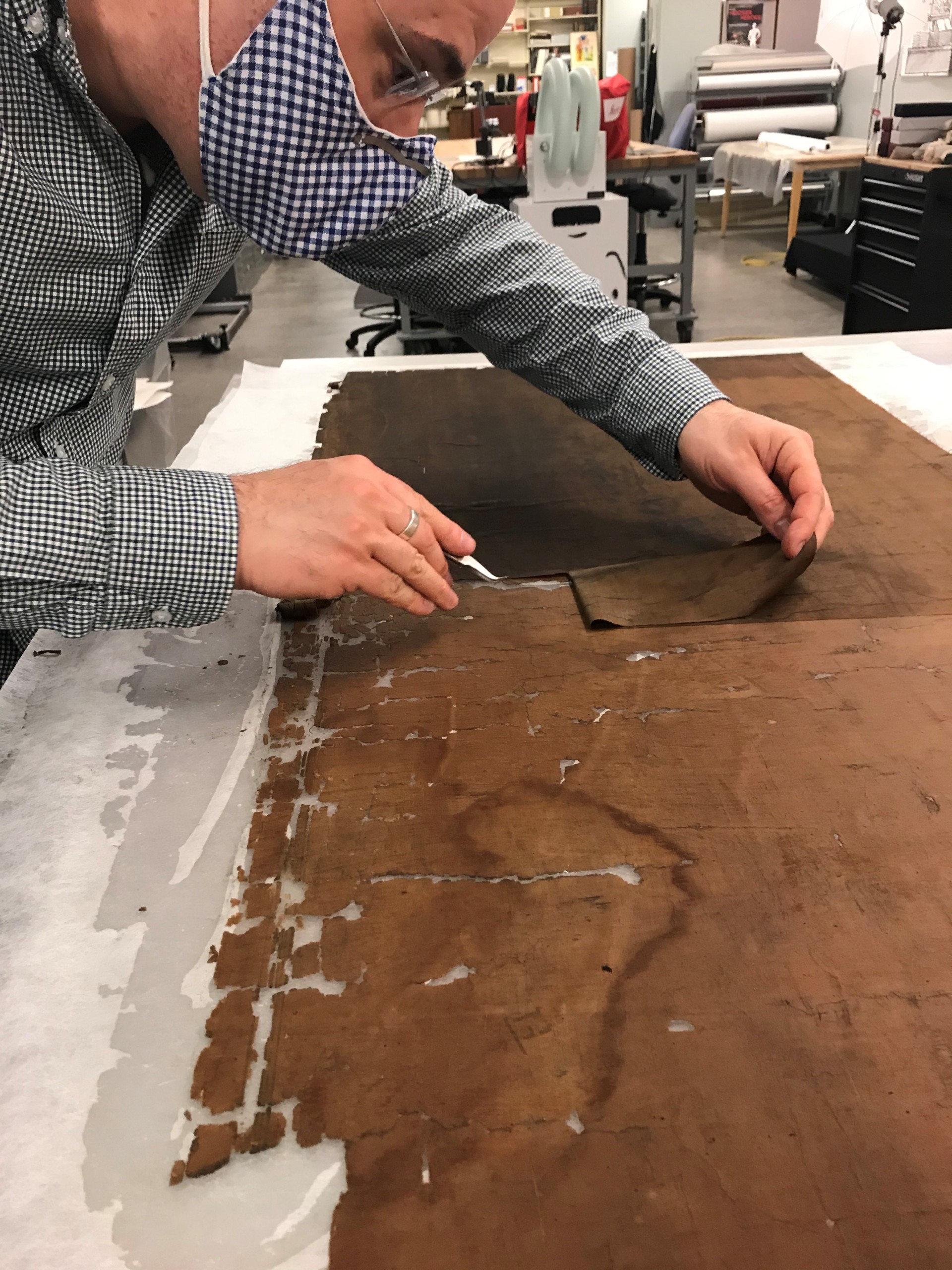
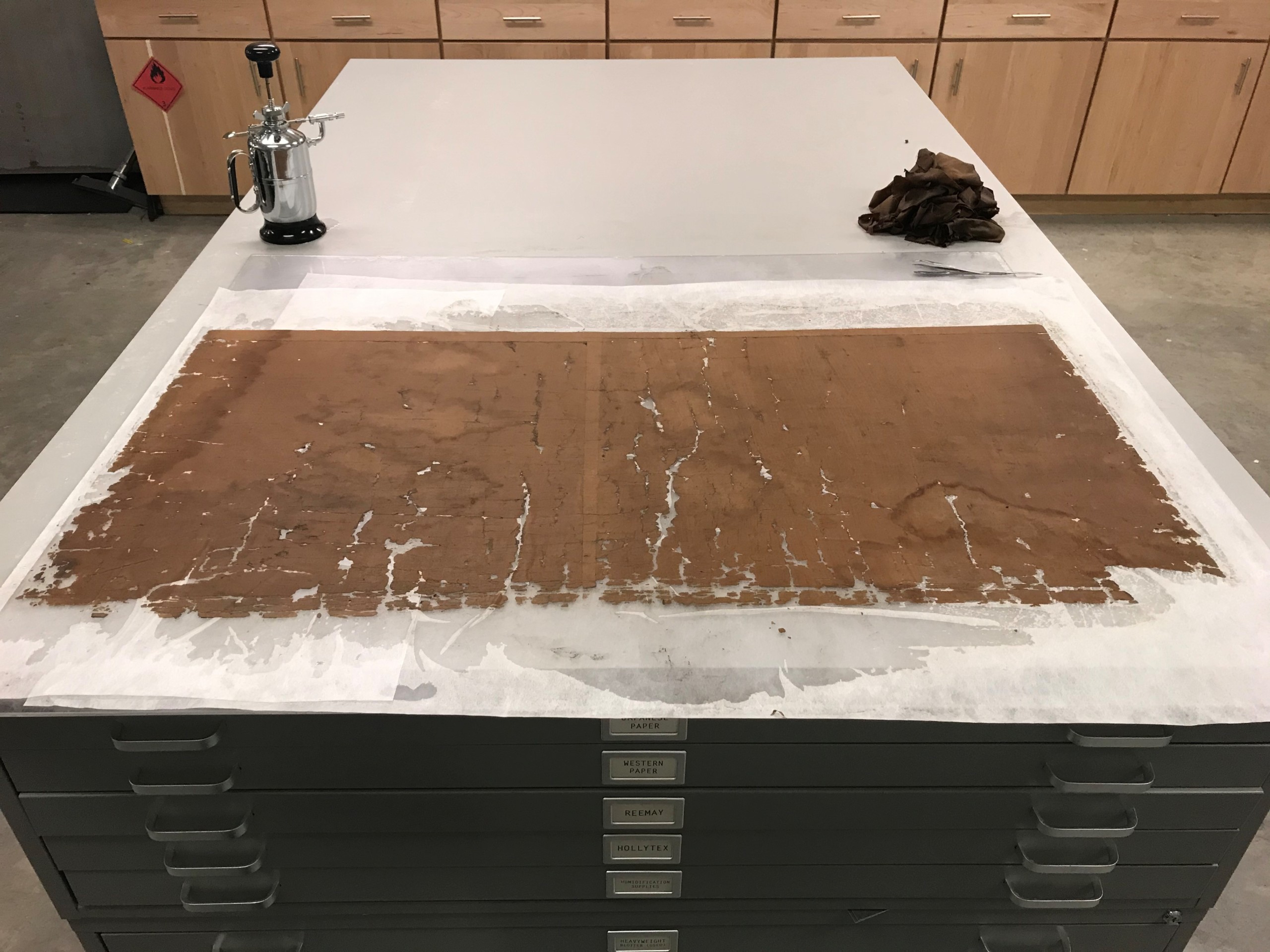
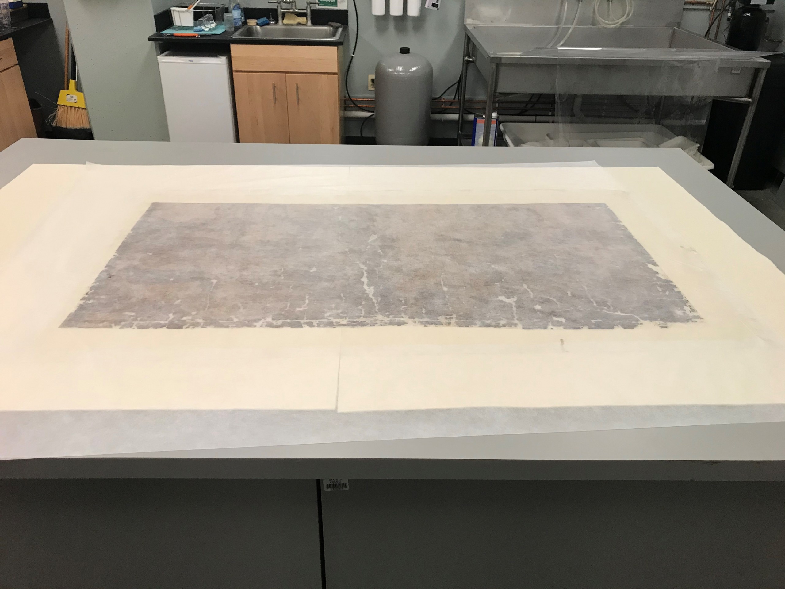
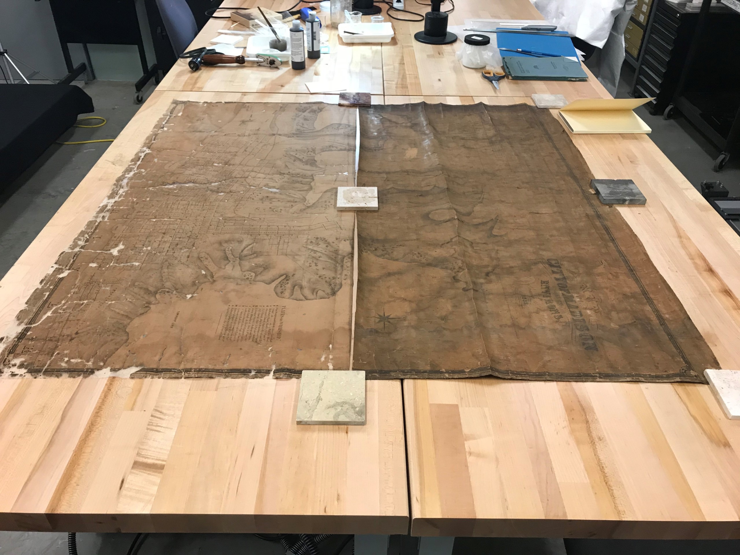
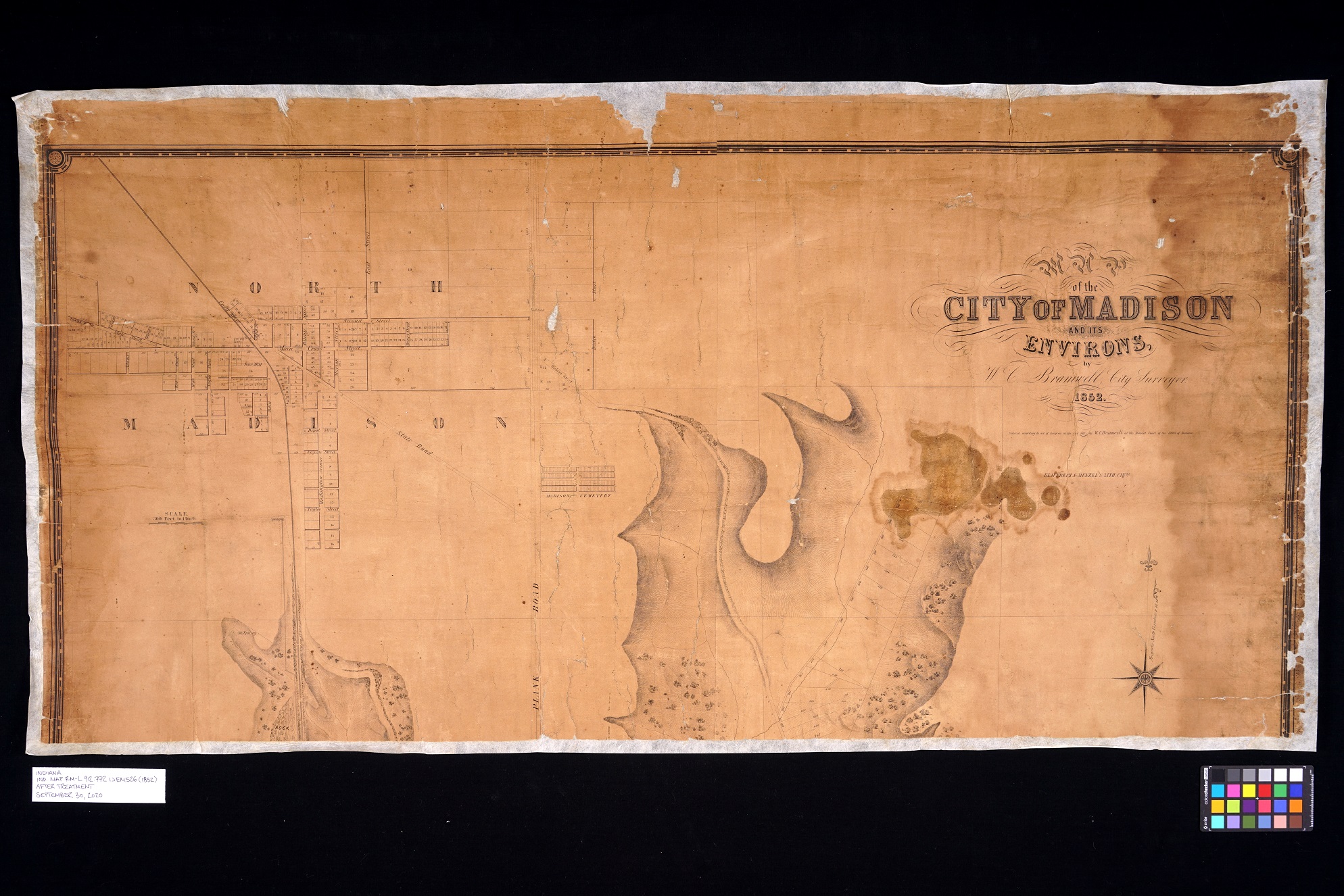
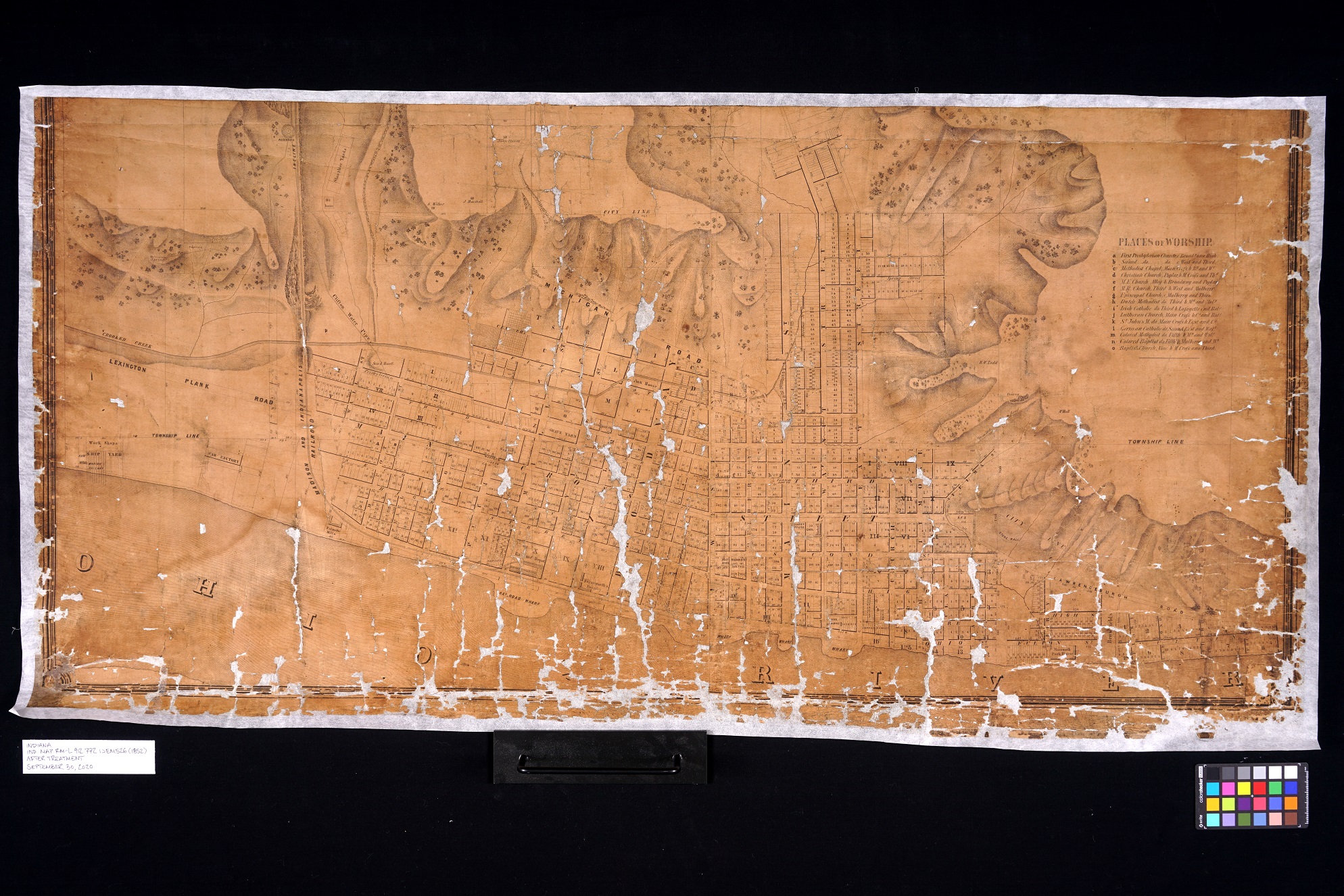
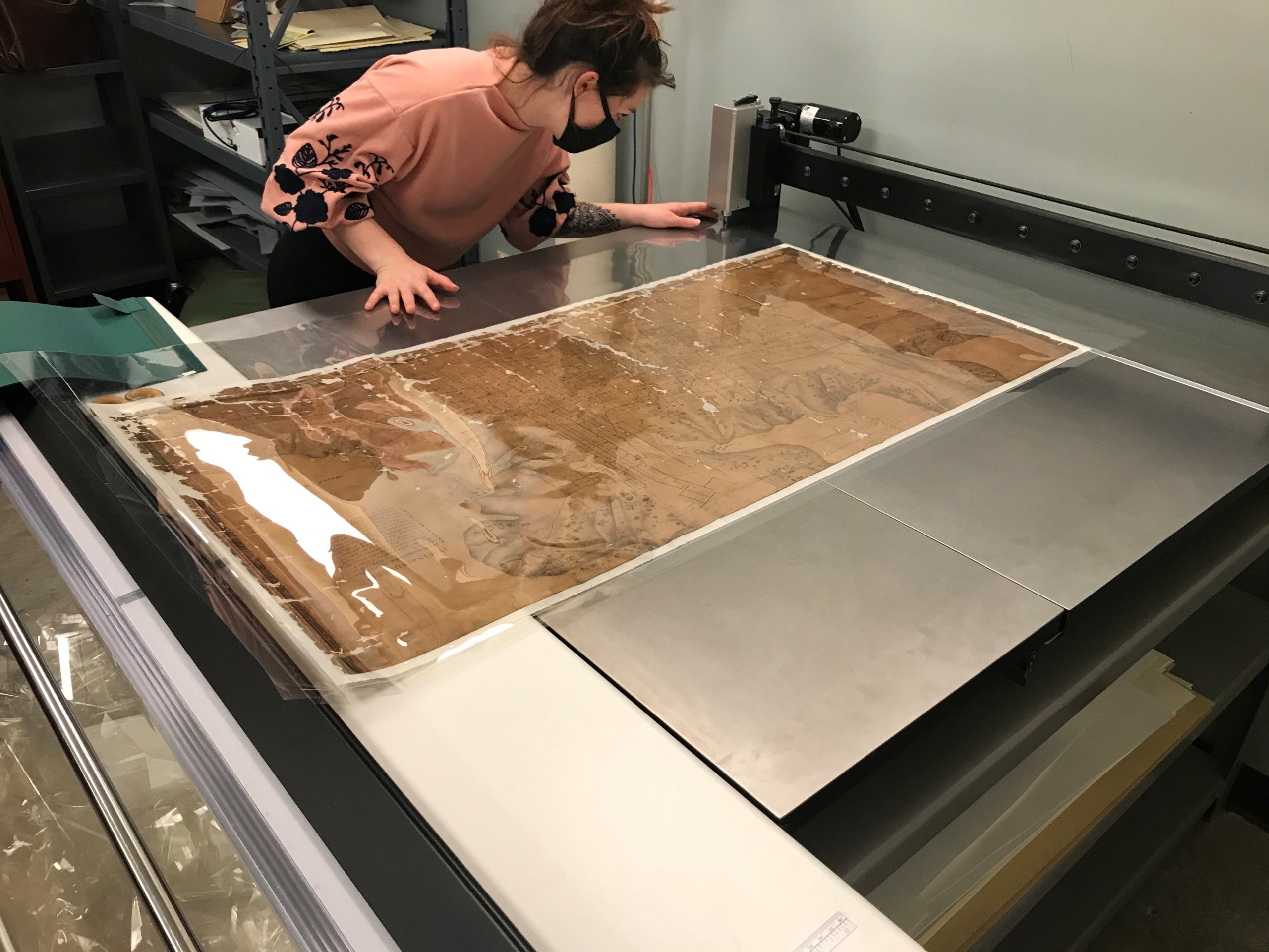
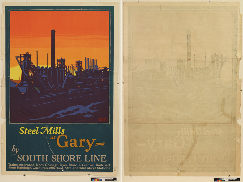
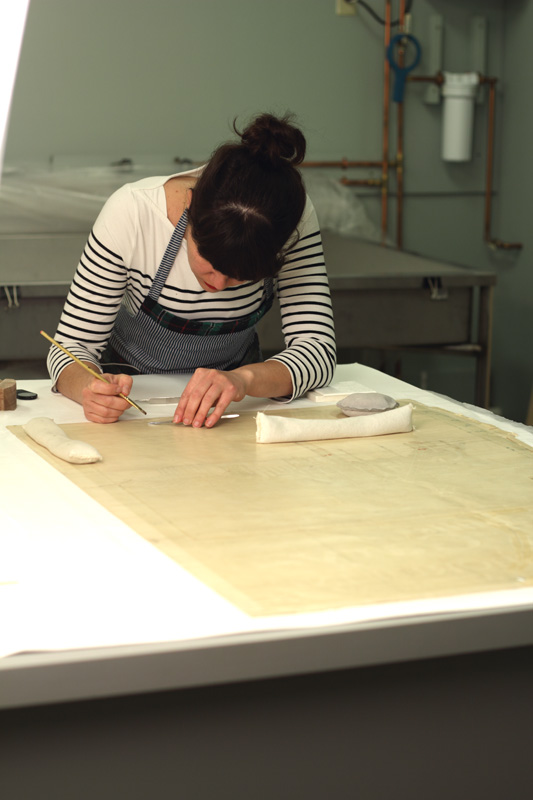
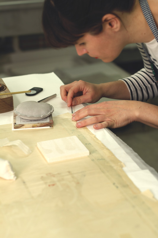
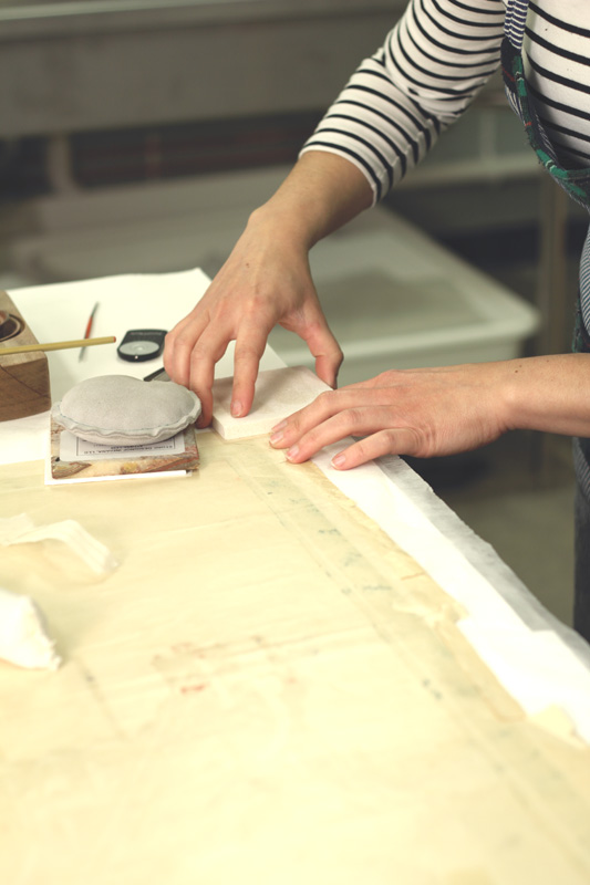
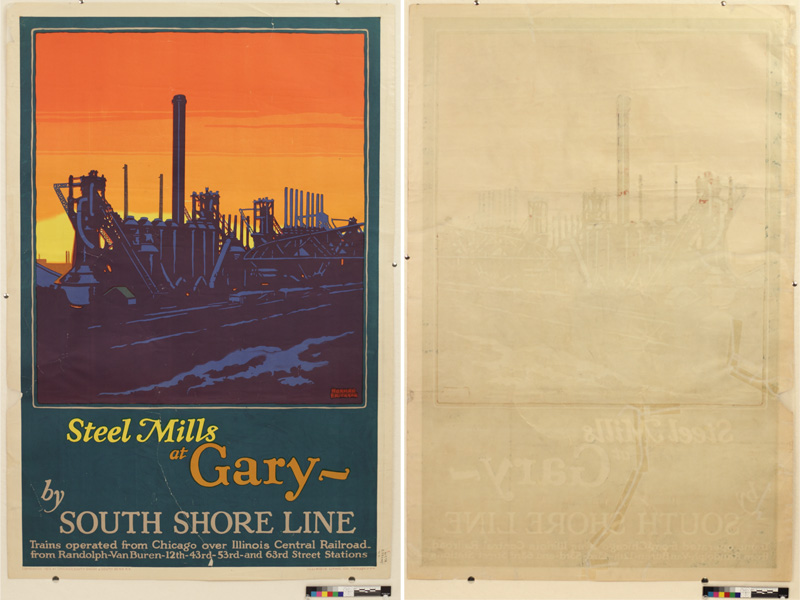
The process started two years ago, when the Indiana State Library purchased a new Phase One camera system, which beautifully digitizes large items such as maps, posters and broadsheets. Our conservator, Seth Irwin, had envisioned installing it in the old digitization lab, but its small size could not accommodate the new camera system. One room that was for consideration was the fourth-floor computer lab, room 428, which provided a space for state government employees to conduct training seminars. Unfortunately, the computer lab wasn’t going to be decommissioned in time to install the Phase One system, so we settled on installing it in the conservation lab. Additionally, the Indiana State Library purchased a state-of-the-art archival box making machine, which could only be installed in the old digitization lab. That made the room even more crowded.
Cut to last year, when the administration team of the Indiana State Library informed Irwin, Indiana Division supervisor Monique Howell, internal digitization librarian Chris Marshall and myself that the computers would be removed from 428 in the spring of 2024. We were ecstatic! We were finally going to move the digitization lab to the room we all wanted after all.
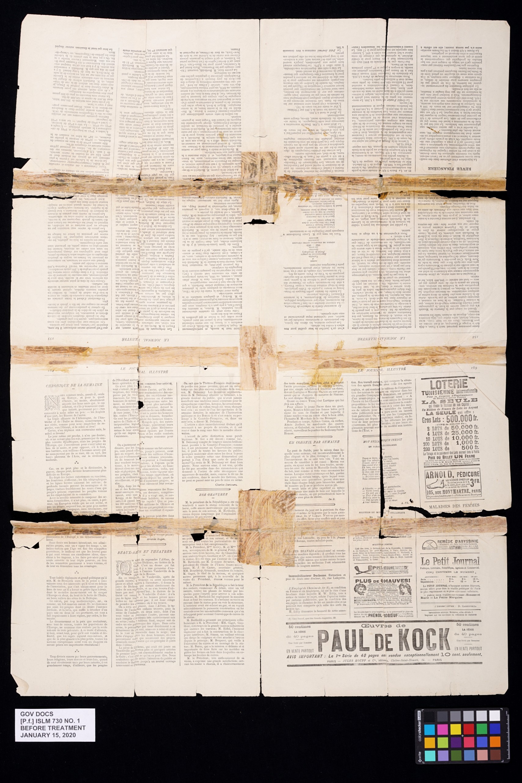
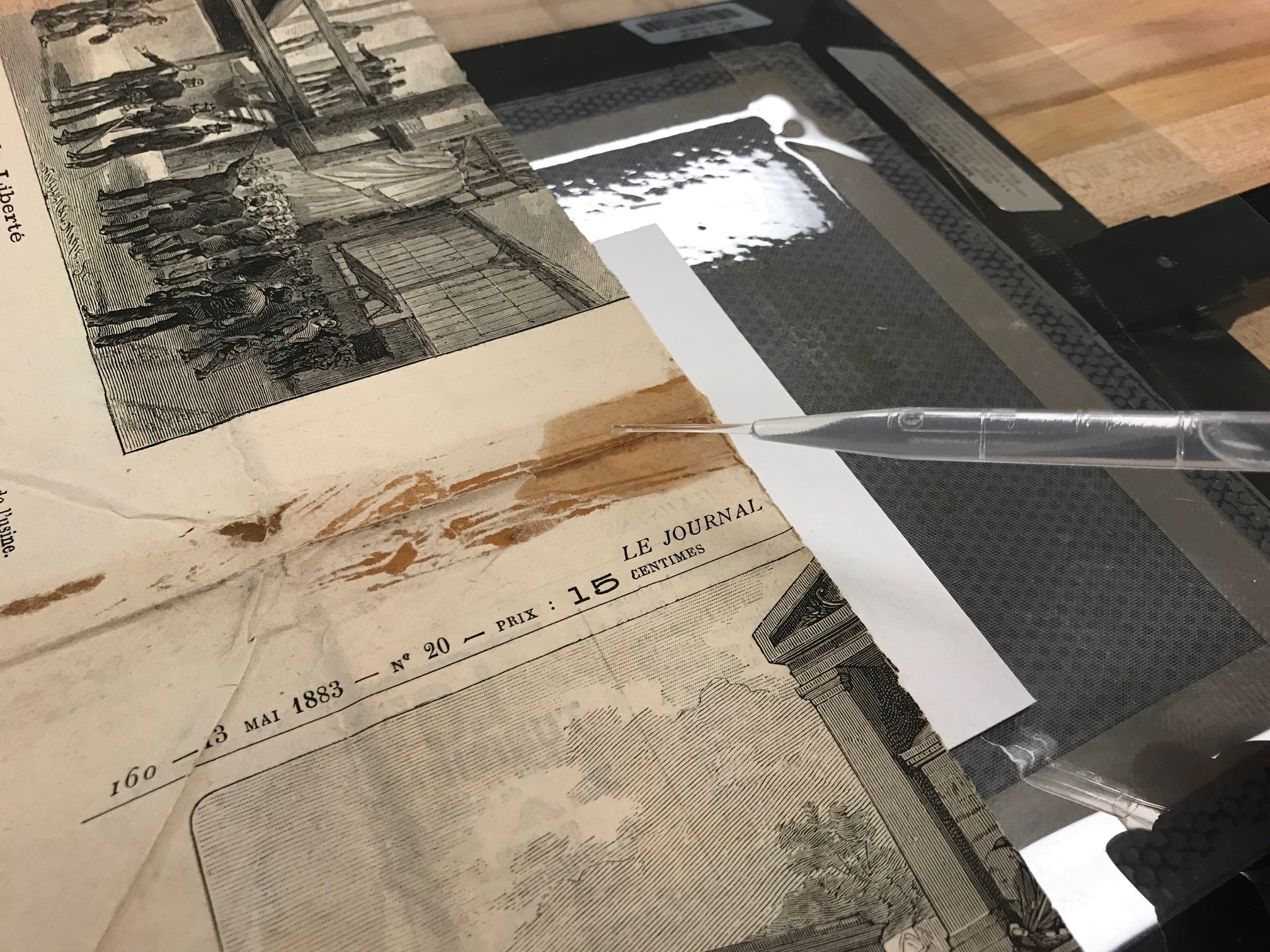
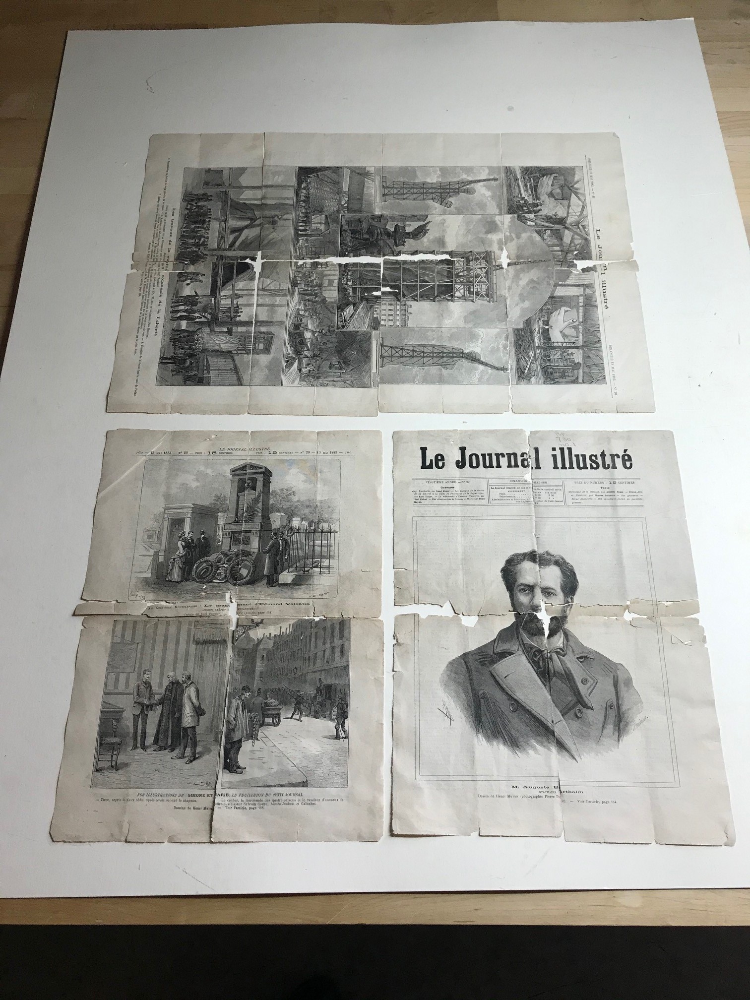
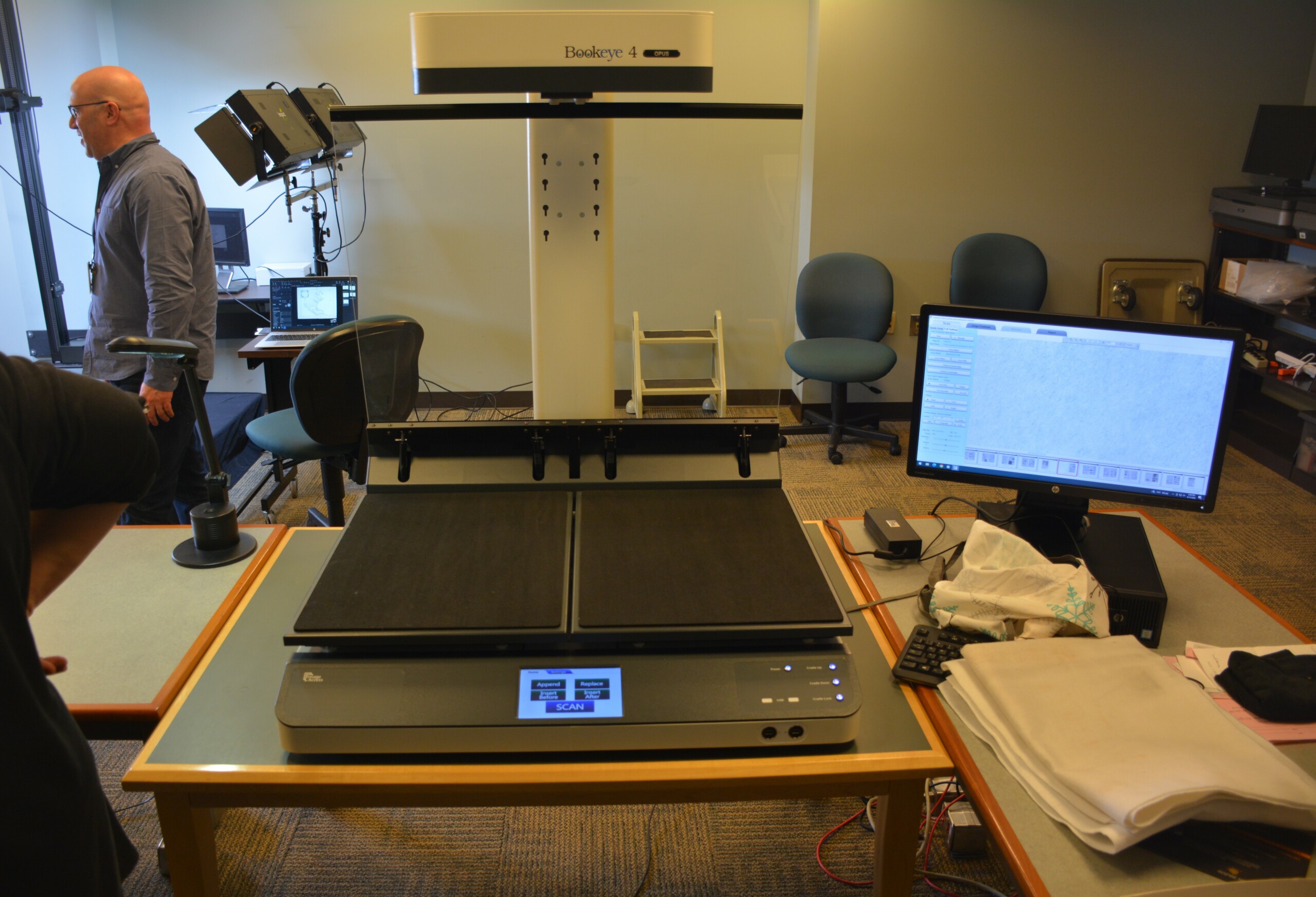
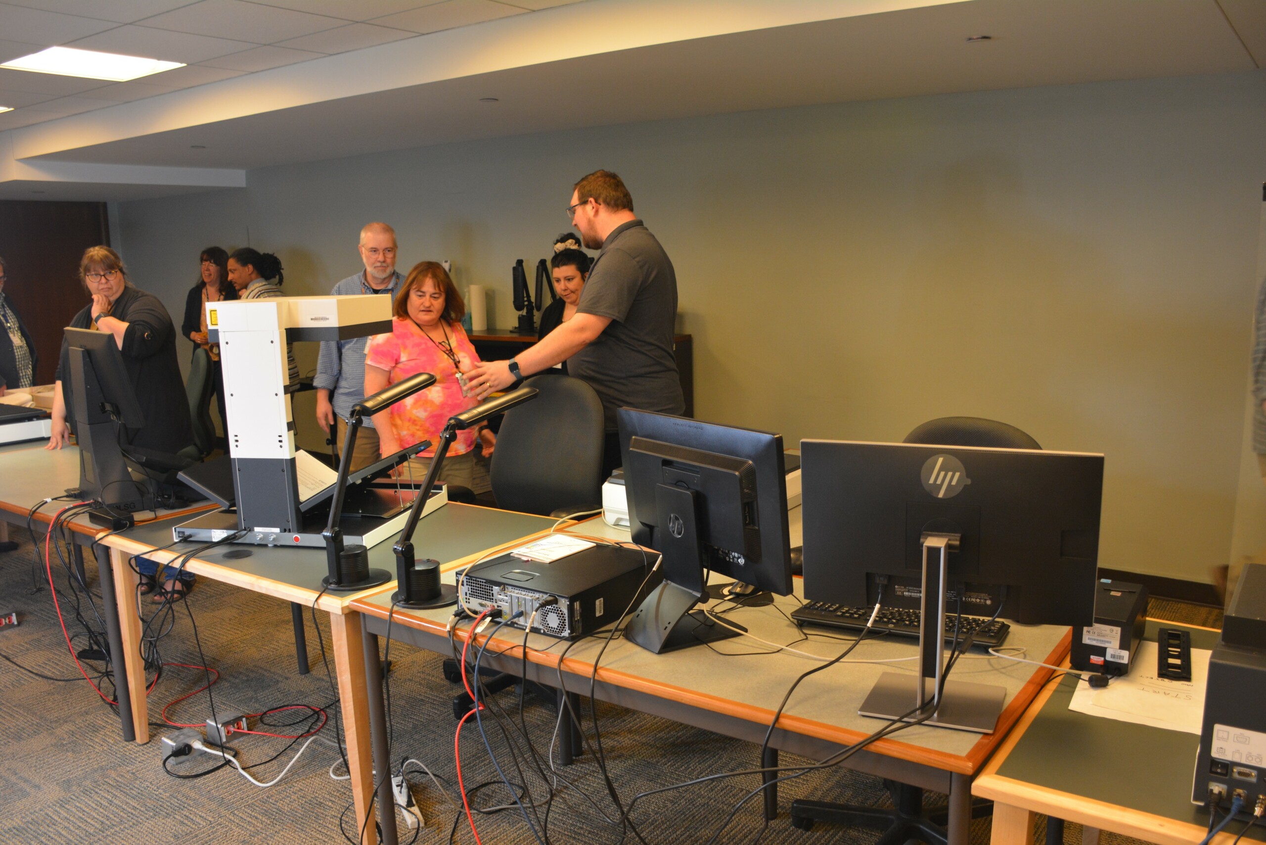
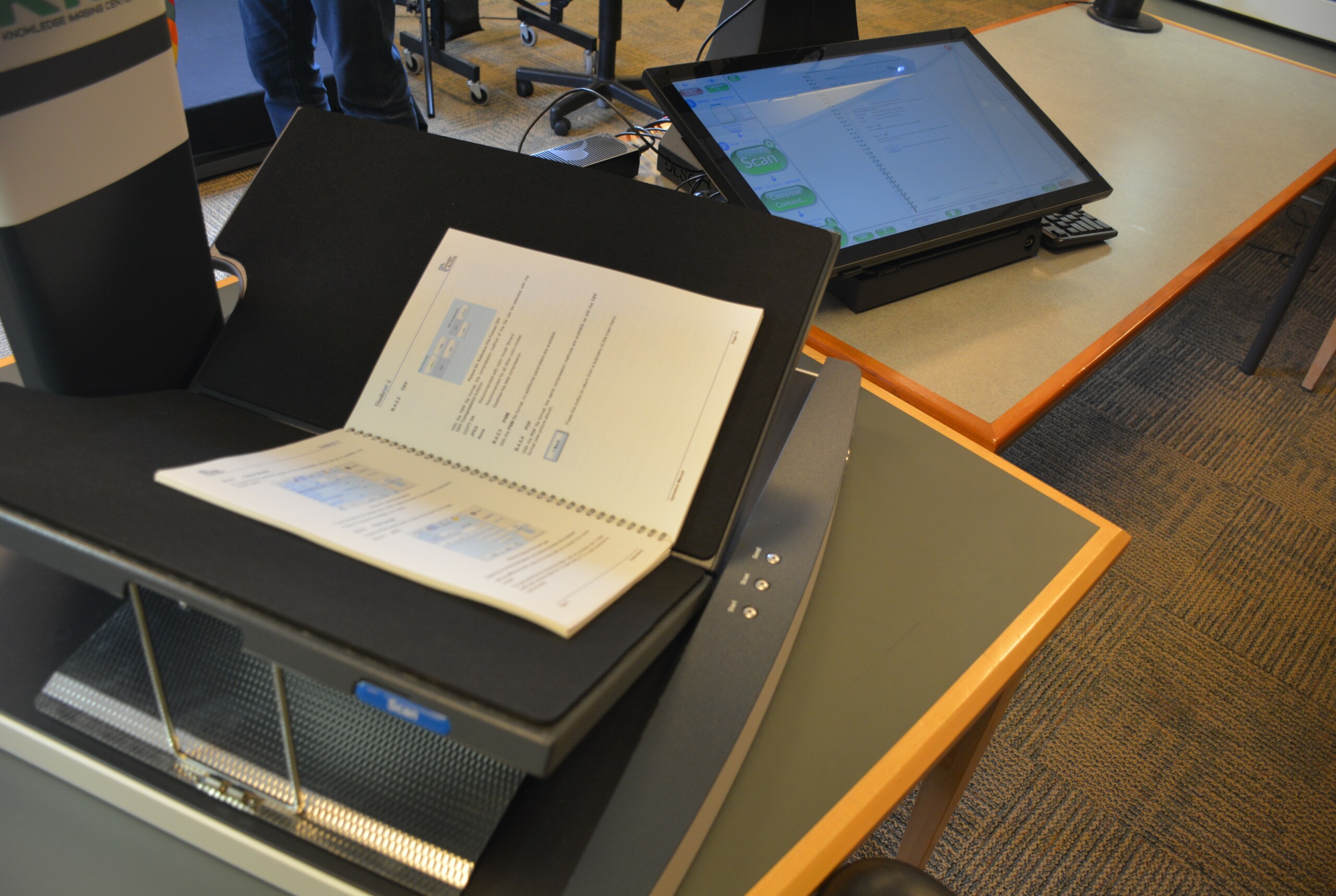 The Digitization Equipment Committee, composed of myself, Marshall, Irwin, Howell, Rare Books and Manuscripts Division librarian Brittany Kropf and Genealogy Division librarian Sarah Pfundstein, all began planning the move to the new digitization lab. We decided which devices were moving, the layout of the room, which tables and shelving we would need and any modifications of the devices. Our three Bookeye overhead scanners, which are primarily used for books, newspapers and pamphlets, would need larger tables to accommodate their weight and size. Fortunately for us, the State Library decommissioned some of the old microfilm readers on the second floor, and the tables for those devices were perfect for the Bookeye scanners. We had Damon Lawrence, our director of building operations, move those tables into 428. We also repurposed many of the tables used for the computer lab, as they were sturdy and provided ample space for the Epson flatbed scanner and the two desktop computers needed for the Bookeye scanners.
 The computers were removed on March 20, way ahead of our schedule for moving our equipment. Once they were gone and the old microfilm tables were moved to 428, we transferred all of the digitization equipment from the old lab into our new one on March 28. Irwin and Marshall moved the Phase One system out of the conservation lab into the new digitization lab on April 1, weeks in advance of our original plan.
The new digitization lab now houses our three Bookeye scanners, our PlusTek photographic slide and negative scanner, our Epson flatbed scanner, the Phase One camera system and all of our other equipment we lend to libraries pursuing digitization projects. Other than the cost of installing new locks and self-closing mechanisms on the two outside doors, we were able to do this move without additional costs to the Indiana State Library.
 The new digitization lab will provide library staff with an opportunity to learn more about our equipment and how they can use it for their respective divisions. It also provides space for growth when the Indiana State Library decides to acquire new digitization equipment, especially for audio/visual digitization, an area where we anticipate growth in the coming years. All of us at the Indiana State Library are proud of our new digitization lab and look forward to our continued work digitizing the history of the great state of Indiana.
If you’re interested in learning more about our digitization division and the services we provide, please reach out to me via email.
This blog was submitted by Justin Clark, digital initiatives director at the Indiana Historical Bureau, a division of the Indiana State Library.