This will be part one of a two-part feature on this collection item. Please be sure to check back in the near future for part two from Chris Marshall, who will give more information about the map book’s creator and the historical importance of its contents.
Rescuing a Book of Hand-drawn Maps from Repairs Gone Wrong
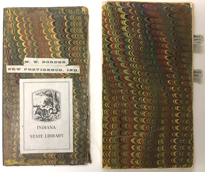
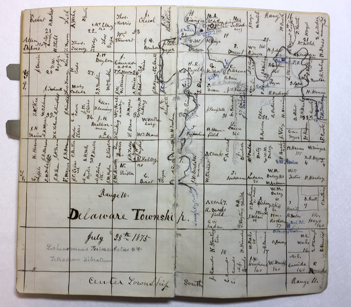
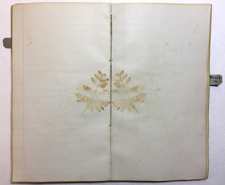
When Indiana Division Librarian Chris Marshall recently brought me a book of hand-drawn maps for consultation, it was a bittersweet experience. This little volume created by William W. Borden in 1875 contains notes, maps, and delightful remnants of pressed plants, evidence of which only remains in the impressions and acidic discoloration in the paper. Chris had selected the volume for digitization due to a patron request, but it needed some conservation treatment beforehand.
[slideshow_deploy id=’3008′]
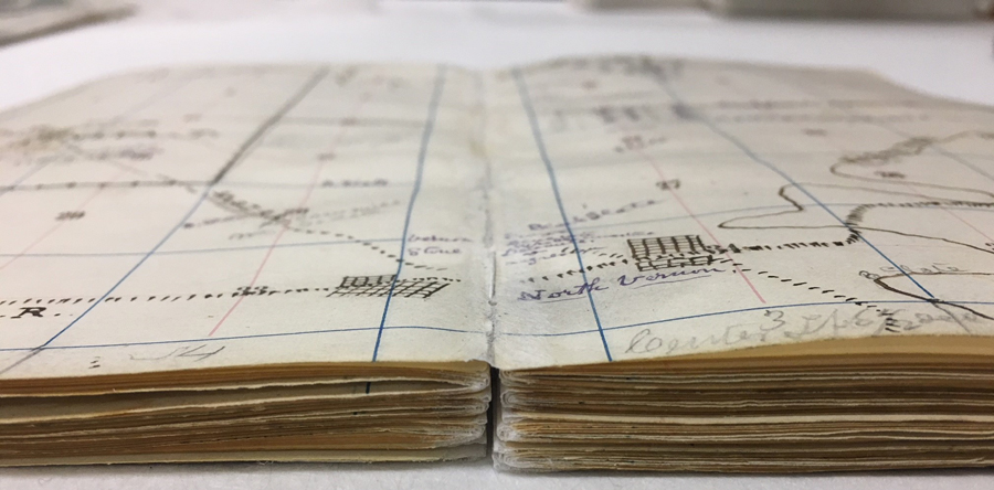
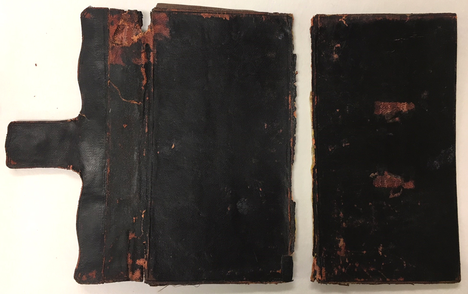
Suffering from loose pages, pages stuck together, taped hinges, and a fragile leather cover completely encased in stiff library book cloth with what was likely an overzealous coating of paste, this little book had received so much well-meaning but poorly executed repair work that it could barely open. A little pocket at the back also held three additional maps, each broken at their fold-lines in four sections. After some discussion with our Genealogy Division Supervising Librarian, Stephanie Asberry, a treatment plan for how best to restore access to this volume was agreed upon.
Here was the plan:
- Separate text block from binding safely
- Remove tape
- Separate all pages adhered together if possible
- Mend all loose pages back into sections
- Re-sew text block in a way that allows a relaxed, flat opening
- Mend the three additional maps back into one piece
- Send all to Chris Marshall for digitizing
- See if the original leather binding can be rescued from the book cloth
- Rebind either in original binding or new case, storing old binding with the book
As you can see, we are currently up to step eight:
Stuck pages have been safely separated. The title page seen in the first before image was a later, modern addition that Borden would not have intended to be there. We decided to separate the page and use the information for cataloging only.
Pages have been mended back together and the text block sewn back together for a comfortable, flat opening.
The pages can now relax flat.
Loose page from the before images above has been mended back in.
Lovely acidic discoloration left behind from a long-missing plant fragment.
While I was able to very carefully remove the book cloth from the leather binding, the leather is very stiff and brittle. Because it no longer flexes, it would not be safe to rebind back into its original binding.
When I receive the volume back from Chris from digitization, I will rebind it in a new case and create a box for the volume, the extra maps, and the original binding. At that point it will be readily available for researchers to view in person in addition to the digitized copy Chris will make available online in the near future.
Stay tuned for a part two about this map book in the near future! Also, if you’re interested in learning more about William W. Borden, the Indiana Historical Bureau had a wonderfully written feature about him in The Indiana Historian, December 1995 available here.
This blog post was written by Rebecca Shindel, Conservator, Indiana State Library.

