
Asher and Adams are noteworthy mapmakers for their contribution to 19th century county and city mapping. They are known for their detailed state atlases of New York in 1869, 1870 and 1871. Some Asher and Adams maps were published in New York City, and others were published in Indianapolis. Sometimes, they publish as Asher, Adams and Higgins.
The Indiana State Library wishes to share an 1867 map of Indianapolis, published by Asher and Adams in Indianapolis, and printed in Buffalo, New York. It has now been made available online. The map is large and detailed. Railroads are drawn with detail and clearly name the depots. There is an extensive business directory in the margins.
If you’re an Indianapolis map enthusiast, you’re likely familiar with the 1866 Warner map of Marion County, published by Titus. However, you may not have seen the Asher and Adams map; at least not the Indiana State Library’s copy. Why wouldn’t you have seen this map before? It’s rare and it’s massive. It was dissected, and when unfolded its large size makes it difficult to handle. It was also horribly dirty. It had been on “preservation status” in our catalog, essentially hiding it from the online public access catalog.
This is where Seth Irwin comes in. Irwin has been the Indiana State Library’s conservator since 2019. He, and his rotating crew of interns, with a grant-funded conservator, have worked wonders with the map collection. You may have seen their blogs about some other map treatments here and here. Sadly, he is leaving his position here at the Indiana State Library. He has made a huge impact on the future of the State Library’s Indiana map collection. His knowledge and tenacity made him an incredible friend to the map collection. I am deeply grateful for the time he spent time with us.
Here are some photos from his most recent treatment of the Asher and Adams Indianapolis map:
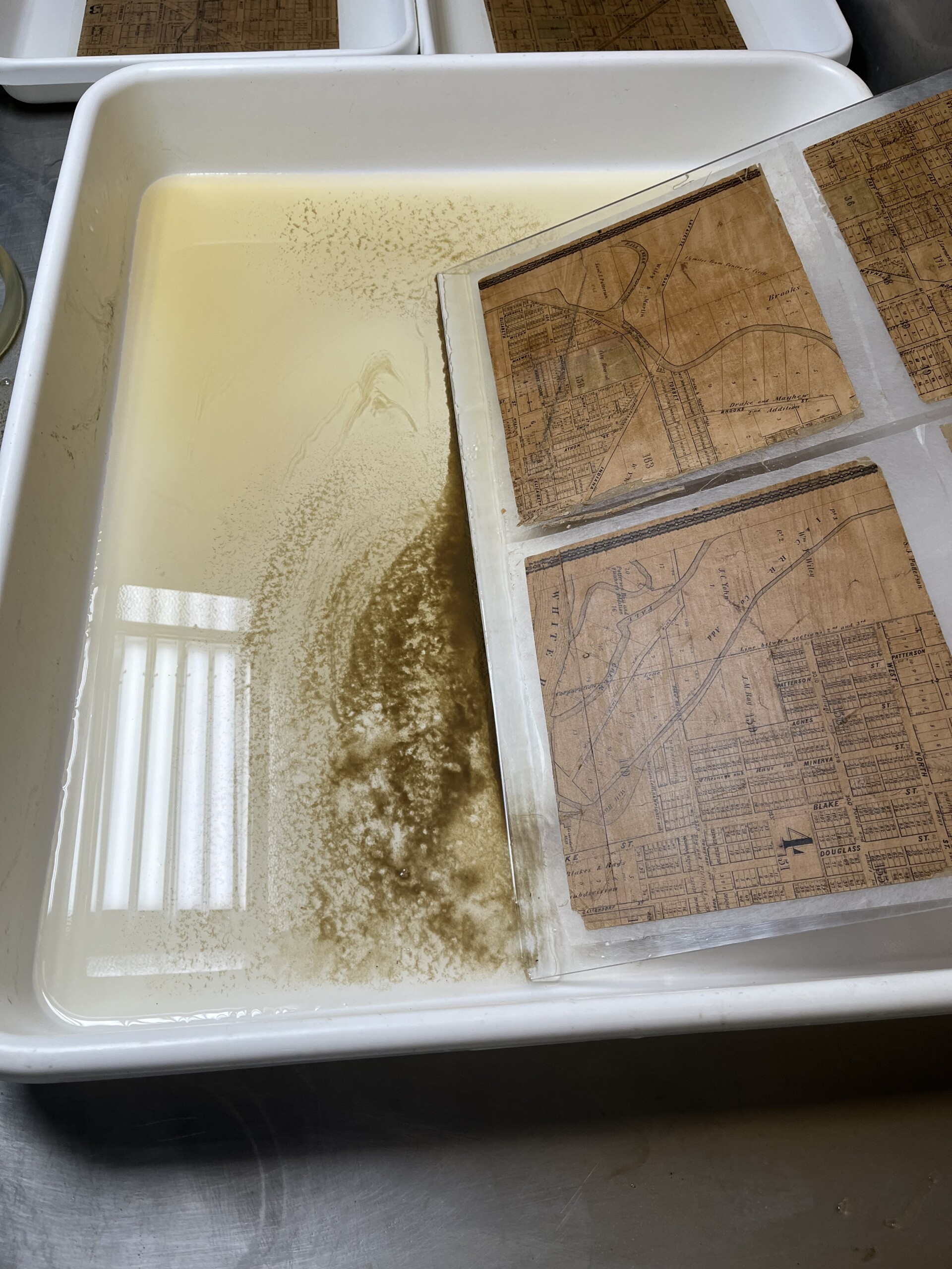
Washing of the map.
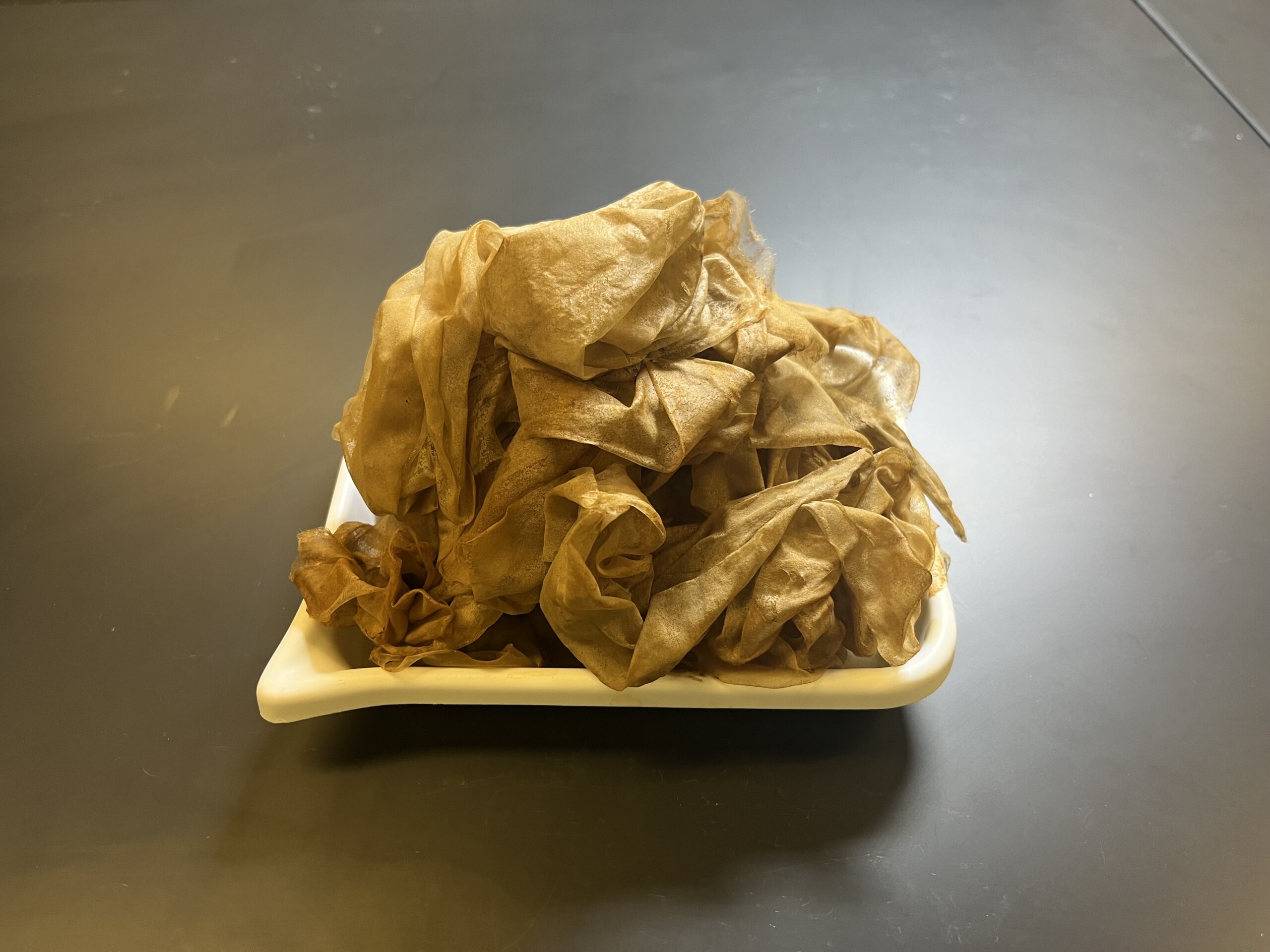
Dirty silk – once used to protect the map – removed.
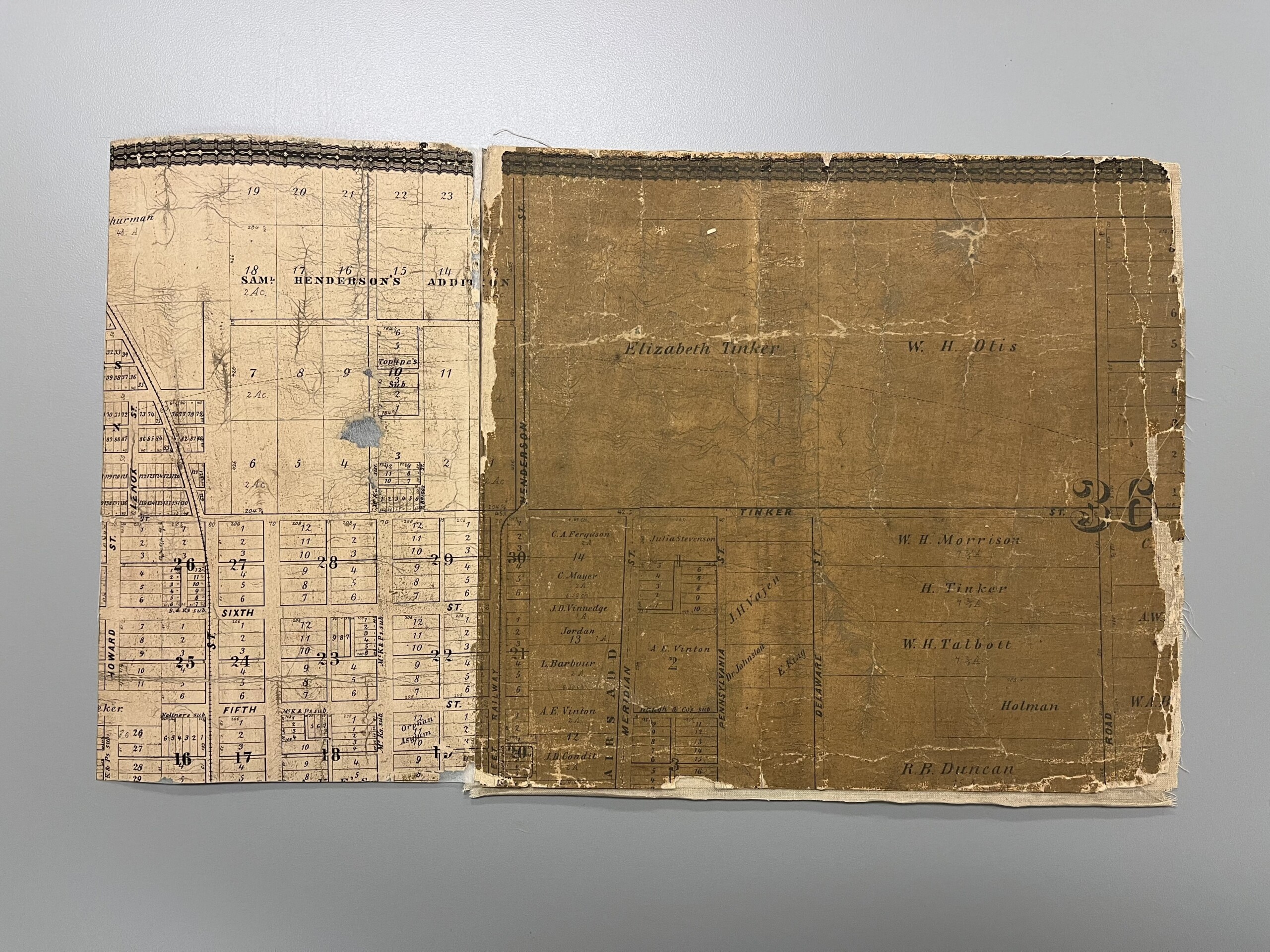
Before and after, side by side.
Now, go spend some time with our maps!
This post was written by Monique Howell, Indiana Collection supervisor.