The Indiana Division has a wide assortment of rare and valuable atlases in its collection, and to make them more accessible to people, we’ve taken the initiative of putting them online. This process involves finding out which atlases aren’t already digitized, and making sure the books are in good enough condition before scanning them.
After they’ve been scanned in at a high resolution, we edit the files with programs like Adobe Photoshop and then upload them online through contentDM. From there, they’re on the web for the entire world to see. You can look at them here: http://cdm16066.contentdm.oclc.org/cdm/landingpage/collection/p15078coll8
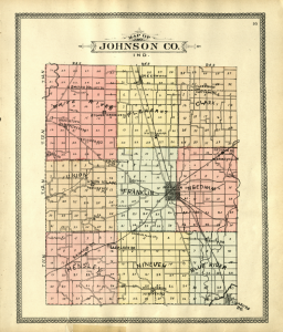
A map of Johnson County, from “An Illustrated Plat Book of Shelby and Johnson Counties, Indiana (1900)”

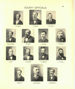
In addition to providing detailed maps of Indiana counties, these atlases show information on property owners, offer family histories, and provide useful facts about the time period they were published in. When you’re researching your family tree, be sure to take a look at these books because they might even show you a picture of your ancestor along with exactly where they lived!
Photographs of County Officials, as they appeared in a “Descriptive Atlas of Jackson County (1900)”

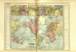
These atlases also had maps of the United States and the entire world, so that readers could learn more about them as well. Not only that, but the world maps had interesting statistics on the power of nation’s armies and navies, their various national debts, and how much railroad and telegraph infrastructure each country had. These maps provide a marvelous portal to the history of the late 19th century.
Map of the World, from “An Illustrated Plat Book of Vanderburgh and Warrick Counties, Indiana (1899)”

This blog post was written by Justin Davis, Indiana Collection Librarian, Indiana State Library. For more information, contact the Indiana Collection Division at (317) 232-3670 or “Ask-A-Librarian” at http://www.in.gov/library/ask.htm.
