Indiana State Library welcomes newest hosted digital collection

The Indiana State Library hosts many digital collections beyond its own collections. The items come from libraries, museums and historical societies across Indiana and can be searched in Indiana Memory.

One of the newest collections is “Cornerstone of Columbus, Indiana — 301 Washington Street.”

Black and white photo of bank with the words Irwin's Bank.

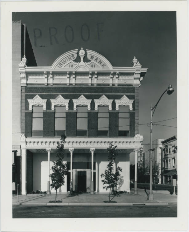
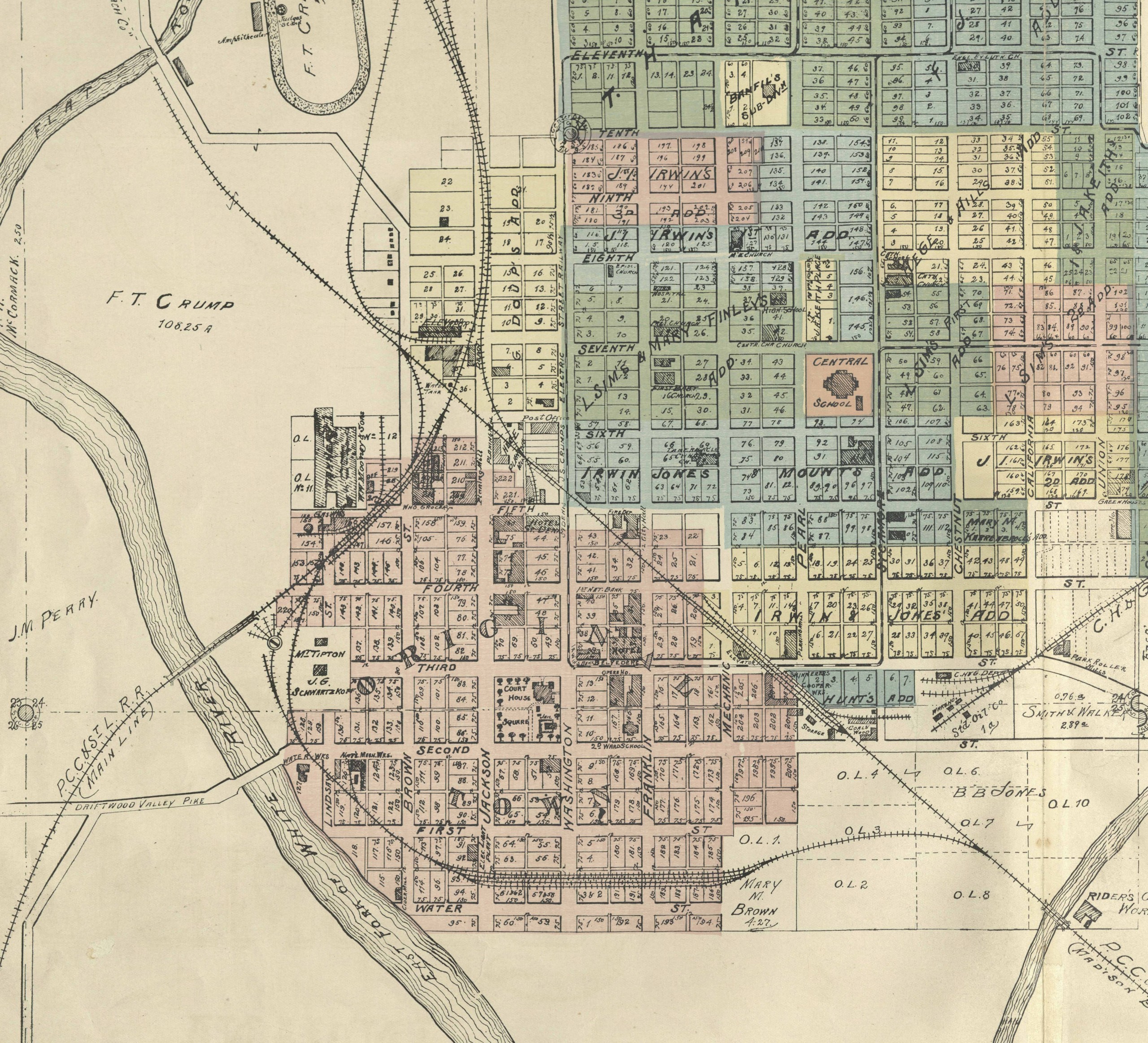
A late-19th century brick building adorned with the words Irwin’s Bank, located at 301 Washington St. in Columbus, tells the story of the Irwin-Sweeney-Miller family in Bartholomew County. For the last 200 years, the Irwin-Sweeney-Miller family has contributed to shaping Columbus with much involvement in the city’s business, religion, politics, art and philanthropy.

Beginning as a digital exhibit in 2017, the new collection was created by the Columbus Indiana Architectural Archives (CIAA). In 2018, the CIAA became part of the Bartholomew County Public Library.

Picture of material swatch.

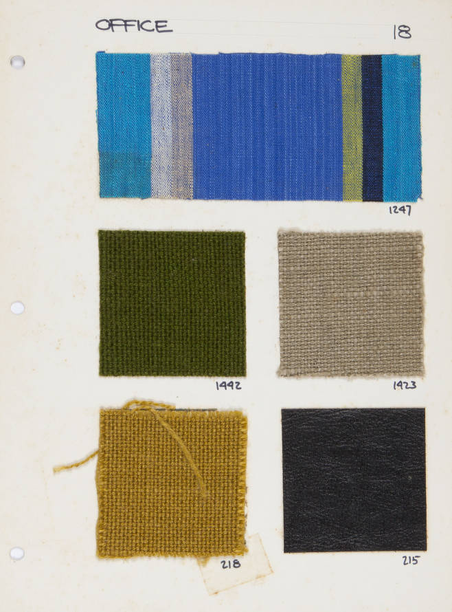
Samples for the office within the Irwin Management Company offices at 301 Washington St.

The digital exhibit and the digital collection have more than 300 items, which are held by the CIAA, the Bartholomew County Public Library and the Bartholomew County Historical Society. Included in the collections are photographs featuring the Irwin-Sweeney-Miller family and the interior and exterior of the building; postcards of Columbus; material sample cards; pamphlets; documents relating to the building’s history; ephemera; and artifacts. They all tell the story of an important Columbus family and building.

This post was written by Christopher Marshall, digital collections coordinator for the Indiana Division at the Indiana State Library.

River city maps

Town maps can certainly be beautifully done, but they are at the mercy of the grid of streets to give them visual interest. Throw in a variable, like a winding river, and they become ever more interesting. The way the water meets the land and how a town is forced to bend along the banks adds lines and color to the maps. Where waterways meet cities the grid breaks down and leaves behind some visually rich maps.

Sometimes the river makes the city, both in development and in character. Indiana’s most famous river city is probably historic Madison, along the mighty Ohio River. Kentucky is usually omitted from maps, making it look like the town is situated at the edge of a cliff. The river is impossible to ignore there.

Likewise, Huntington was built up along a river. The Wabash, Little Wabash and the canals; waterways were ever important to its development. The maps are beautiful in the way the angled streets disorient the buildings. Especially lovely with the illustrations is this detailed map from 1879.

Other times, the city seems to develop while almost ignoring the river. Columbus seems to just dip a toe into the East Fork of the White River. Indianapolis, too, seems to be shying away from the White River and looking inward toward the circle center. Both of these towns have had interesting relationships with their rivers, but now Columbus Riverfront and Indianapolis are looking for ways to embrace their beautiful waterways.

It seems Logansport’s not afraid to straddle and nestle within the arms of the Wabash and Eel rivers. And Elkhart, too, appears not to have shied away from the St. Joseph and Elkhart Rivers. The river seems to be coming and going, swirling and whirling on the page.

If you enjoyed looking at these maps, take time to explore some of the great digital map collections available online. Don’t we all need something for our minds to linger on right now?

David Rumsey Historical Map Collection
American Geographical Society Library
Osher Map Library
New York Public Library

This post was written by Indiana Collection Supervisor Monique Howell